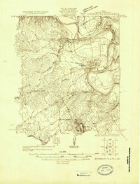
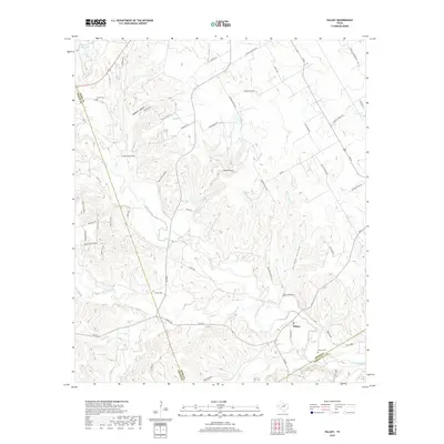
1923 Map of Granbury 2-a
USGS Topo · Published 1923About this map
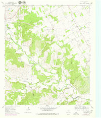
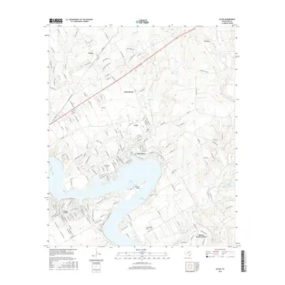
The Brazos River creates a dramatic, sweeping bend through this section of Hood County, anchoring the primary settlement of Granbury along its southern bank. In the early 1920s, this area was a landscape of small agricultural hubs and rural institutions, evidenced by the central presence of Thorp Springs and the outlying Lambert. The terrain is characterized by the prominent elevation of Comanche Pk to the south and a network of drainages including Stroud Creek and Squaw Creek. Infrastructure of the era is clearly marked by the G C and S F Ry cutting through the center of the county and an early Pipe Line running to the north. Education for the rural population was anchored at Friendship School and Brushy School, serving families dispersed among the creek valleys and upland ridges.
Find a feature on this map
17 named features on this map. Tap any name to fly to it.
Don’t see what you’re looking for? This feature index may not catch every label — zoom into the map to look around manually.
Map Details
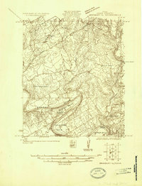
Editions of this 1923 Granbury 2-a Map
This is the sole edition of this map. No revisions or reprints were ever made.
Historical Maps of Granbury Through Time
20 maps found
1923 Granbury 1-b
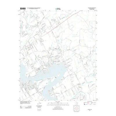
Hood County, TX
1923 Granbury 2-a
Hood County, TX
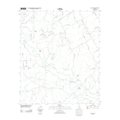
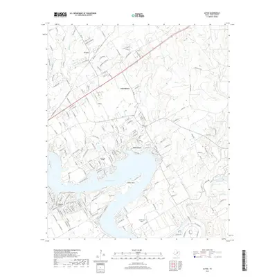
1961 Acton
Hood County, TX
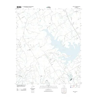
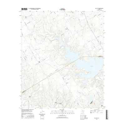
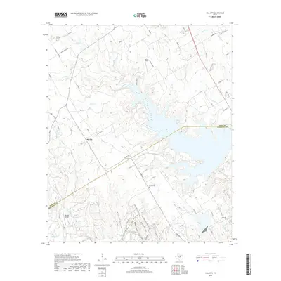
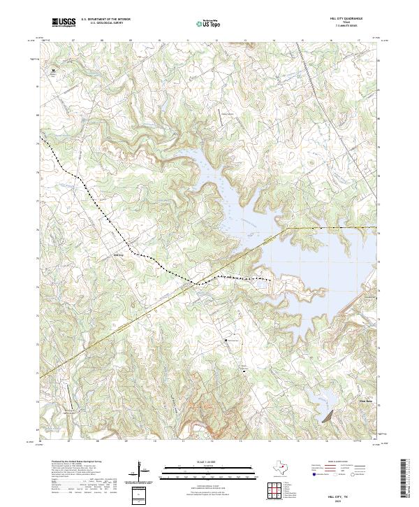
1961 Hill City
Hood County, TX
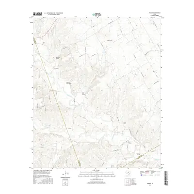
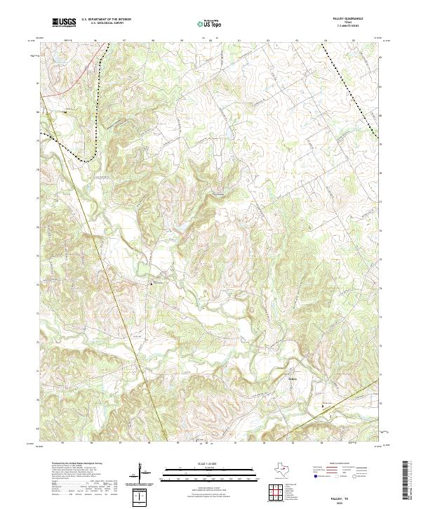
1961 Paluxy
Hood County, TX
2010 Acton
Hood County, TX
2010 Hill City
Hood County, TX
2010 Paluxy
Hood County, TX
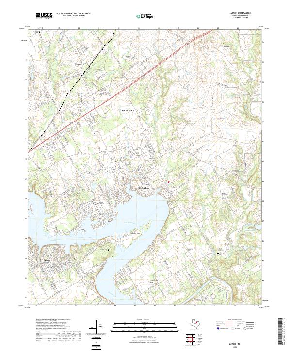
2012 Acton
Hood County, TX
2012 Paluxy
Hood County, TX
2013 Hill City
Hood County, TX
2016 Acton
Hood County, TX
2016 Hill City
Hood County, TX
2016 Paluxy
Hood County, TX
2019 Acton
Hood County, TX
2019 Hill City
Hood County, TX
2019 Paluxy
Hood County, TX
2022 Acton
Hood County, TX
2022 Paluxy
Hood County, TX
2023 Hill City
Hood County, TX