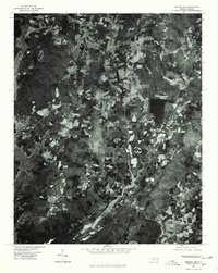
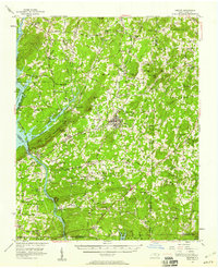
1977 Map of Denton NW
USGS Topo · Published 1979About this map
The agrarian landscape of Davidson County is captured here via orthophotography during the late 1970s. The terrain is characterized by the prominent elevation of Wildcat Mountain and the southern slopes of High Rock Mtn, overlooking the expansive waters of High Rock Lake. This aerial survey provides a clear view of the rural settlement patterns around Silver Hill and Cedar Grove, showing the patchwork of timbered hillsides and cleared fields. The map documents the relationship between the local road network and the convoluted shoreline of the lake, offering researchers a precise record of land use and property boundaries in this Piedmont region before subsequent residential development altered the rural character of the area.
Find a feature on this map
5 named features on this map. Tap any name to fly to it.
Don’t see what you’re looking for? This feature index may not catch every label — zoom into the map to look around manually.
Map Details
Editions of this 1977 Denton NW Map
This is the sole edition of this map. No revisions or reprints were ever made.
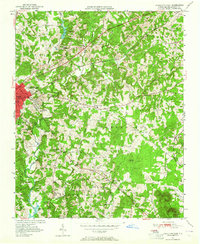
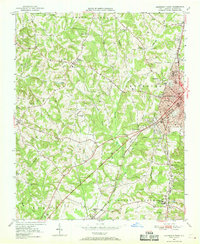
Other maps of this area
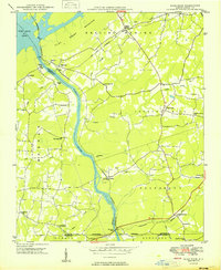
1949 · High Rock
USGS Topo · 1:24,000

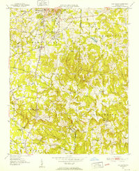
1949 · Denton NW
USGS Topo · 1:24,000
1950 · Lexington East
USGS Topo · 1:24,000
1950 · Lexington West
USGS Topo · 1:24,000

1951 · Lexington East
USGS Topo · 1:24,000

1951 · Lexington West
USGS Topo · 1:24,000
1951 · Fair Grove
USGS Topo · 1:24,000

1953 · Charlotte
USGS Topo · 1:250,000

1954 · Charlotte
USGS Topo · 1:250,000
1957 · Denton
USGS Topo · 1:62,500