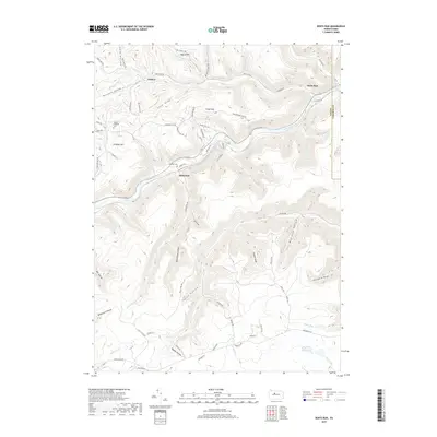
2019 Map of Dents Run
USGS Topo · Published 2019About this map
The Bennett Branch Sinnemahoning Creek carves a deep path through this section of Elk and Cameron Counties, serving as the primary corridor for settlement and transit. Small hamlets like Sumerson and Dents Run cling to the valley floor, while names like Winslow Hill and Grant Hill suggest the upland agricultural and residential expansion above the drainages. The landscape is defined by a dense network of steep hollows and drafts, including Dark Hollow, Porcupine Hollow, and Mud Lick Hollow, which illustrate the erosion patterns characteristic of the Allegheny Plateau.
Find a feature on this map
76 named features on this map. Tap any name to fly to it.
Don’t see what you’re looking for? This feature index may not catch every label — zoom into the map to look around manually.
Map Details
Editions of this 2019 Dents Run Map
This is the sole edition of this map. No revisions or reprints were ever made.
Other maps of this area

1929 · Karthaus
USGS Topo · 1:62,500

1929 · Clearfield
USGS Topo · 1:48,000

1932 · Clearfield
USGS Topo · 1:62,500

1932 · Karthaus
USGS Topo · 1:62,500

1941 · Benezette
USGS Topo · 1:62,500

1943 · Benezette
USGS Topo · 1:62,500

1945 · Driftwood
USGS Topo · 1:48,000

1945 · Driftwood
USGS Topo · 1:24,000

1945 · Cameron
USGS Topo · 1:24,000

1947 · Cameron
USGS Topo · 1:24,000
Featured Places
- Benezette Township, PA
- Grant, Benezette Township
- Sumerson, Benezette Township
- Gibson Township, PA
- Dents Run, Benezette Township