Loading...
Loading map...2022 Map of Deport
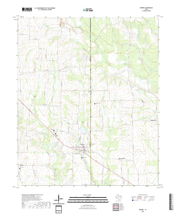
USGS Topo · Published 2022About this map
Deport straddles the line between Lamar Co and Red River Co in this modern topographic study, serving as a central hub for the surrounding agricultural prairie. The landscape is defined by its numerous small burial grounds and a complex drainage system of creeks and bayous. Significant local landmarks include Old City Lake and several family or community cemeteries such as Highland Cem, Mount Pleasant Cem, and Wrights Chapel Cem.
Find a feature on this map
79 named features on this map. Tap any name to fly to it.
Don’t see what you’re looking for? This feature index may not catch every label — zoom into the map to look around manually.
Map Details
Date Portrayed2022
Date Published2022
PublisherU.S. Geological Survey
Map TypeTopographic
Scale1:24000
Physical Dimensions24 x 29 inches
Editions of this 2022 Deport Map
This is the sole edition of this map. No revisions or reprints were ever made.
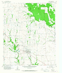
Historical Maps of Deport Through Time
Featured Locations
Source Details
SourceU.S. Geological Survey
CopyrightPublic Domain