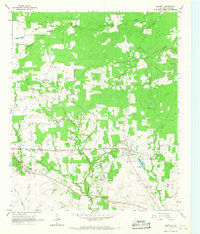
1964 Map of Deport
USGS Topo · Published 1967About this map
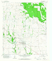
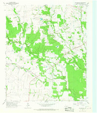
Deport serves as the central hub of this 1964 survey, straddling the border of Lamar and Red River Counties. The landscape is a patchwork of agricultural clearings and riparian woodland corridors, defined by the winding paths of Cuthand Creek and its many tributaries, including Mustang Creek and Brushy Creek. A notable historical site is the Birthplace of John N. Garner, located northeast of the main town site, marking the origins of the 32nd Vice President of the United States.
Find a feature on this map
20 named features on this map. Tap any name to fly to it.
Don’t see what you’re looking for? This feature index may not catch every label — zoom into the map to look around manually.
Map Details
Editions of this 1964 Deport Map
This is the sole edition of this map. No revisions or reprints were ever made.
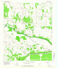
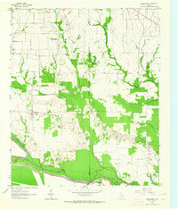
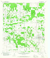
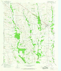
Other maps of this area

1953 · Texarkana
USGS Topo · 1:250,000

1956 · Texarkana
USGS Topo · 1:250,000
1963 · Minter
USGS Topo · 1:24,000
1963 · Cunningham
USGS Topo · 1:24,000
1964 · Detroit
USGS Topo · 1:24,000
1964 · Bagwell
USGS Topo · 1:24,000
1964 · Pattonville
USGS Topo · 1:24,000
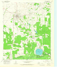
1964 · Bogata
USGS Topo · 1:24,000
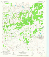
1964 · Blossom
USGS Topo · 1:24,000
1964 · Line Branch
USGS Topo · 1:24,000