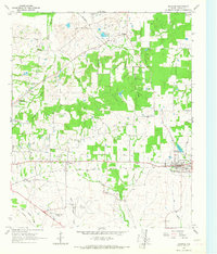
1964 Map of Blossom
USGS Topo · Published 1967About this map
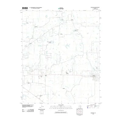
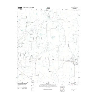
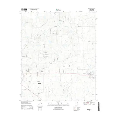
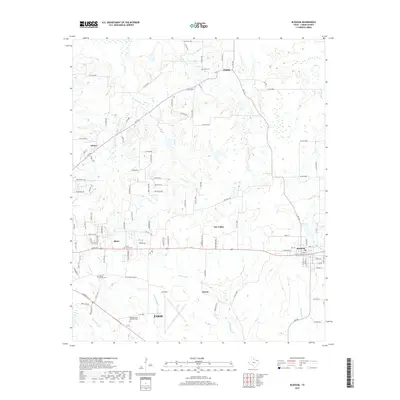
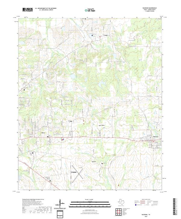
The Texas and Pacific railroad corridor serves as the primary East-West axis for settlement across this Lamar County landscape, connecting the town of Blossom with the smaller communities of Reno and Sylvan. The map reveals a transition from the agricultural lands surrounding Faught and Amherst to the specialized infrastructure of the mid-1960s, including Cox Field, the Paris Drag Strip, and a Drive-in Theater near the Meadowbrook Memorial Park. Local watercourses like Ninemile Creek, Sixmile Creek, and Sevenmile Creek provide a distinct drainage pattern flowing toward Cuthand Creek. For genealogists, the map preserves the exact locations of family-named landmarks such as Corn Cem, Sikes Cem, and Moore Springs Cem, alongside spiritual centers like Mt Zion Ch and Providence Ch. The presence of an Old Railroad Grade near Big Sandy Creek highlights an even older layer of the region's transportation history.
Find a feature on this map
33 named features on this map. Tap any name to fly to it.
Don’t see what you’re looking for? This feature index may not catch every label — zoom into the map to look around manually.
Map Details
Editions of this 1964 Blossom Map
This is the sole edition of this map. No revisions or reprints were ever made.
Historical Maps of Paris Through Time
6 maps found