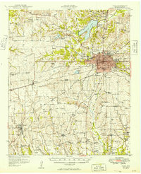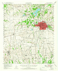
1948 Map of Paris
USGS Topo · Published 1966About this map
Paris serves as the bustling hub of Lamar County in the late 1940s, its urban grid tightly clustered around the intersection of major rail lines including the Texas and Pacific and the St Louis San Francisco. The city is flanked by essential postwar infrastructure, from the sprawling Camp Maxey Military Reservation in the north to the Municipal Airport and Paris Junior College. The surrounding landscape is a dense network of agricultural communities and rural school districts, many of which supported small-scale local economies before regional consolidation.
Find a feature on this map
80 named features on this map. Tap any name to fly to it.
Don’t see what you’re looking for? This feature index may not catch every label — zoom into the map to look around manually.
Map Details
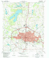
Editions of this 1948 Paris Map
This is the sole edition of this map. No revisions or reprints were ever made.
Historical Maps of Paris Through Time
11 maps found