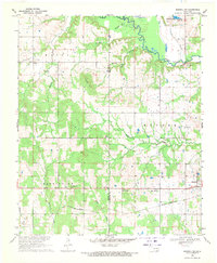
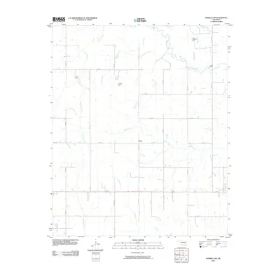
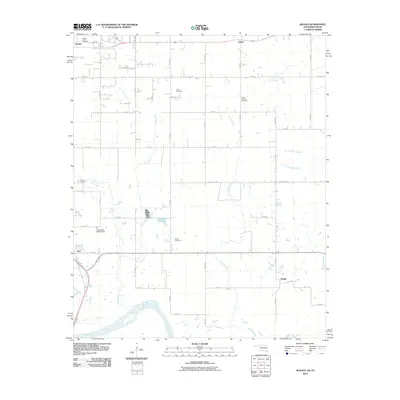
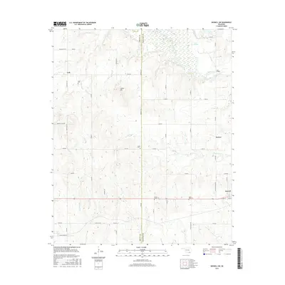
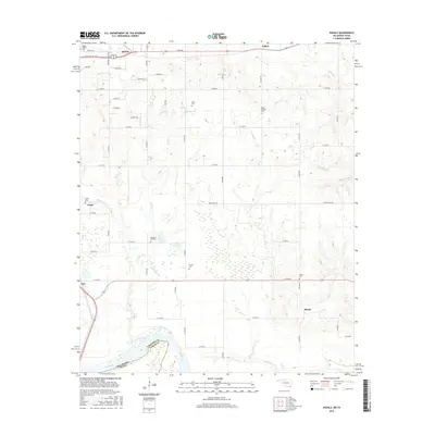
1948 Map of Direct
USGS Topo · Published 1968About this map
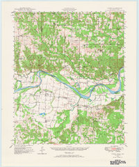
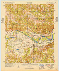
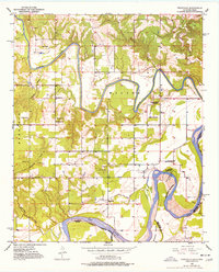
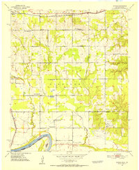
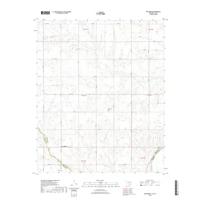
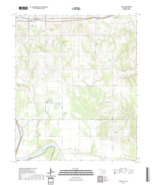
The Red River creates a meandering border between Oklahoma and Texas, defining the rural character of this 1940s landscape. Small agricultural communities such as Oberlin and Direct anchor a network of country roads connecting numerous localized landmarks. The area is dotted with small rural education centers, including the Iron Stob School and Crowder Springs School, reflecting the decentralized nature of school districts before widespread consolidation.
Find a feature on this map
58 named features on this map. Tap any name to fly to it.
Don’t see what you’re looking for? This feature index may not catch every label — zoom into the map to look around manually.
Map Details
Editions of this 1948 Direct Map
This is the sole edition of this map. No revisions or reprints were ever made.
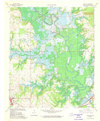
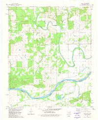
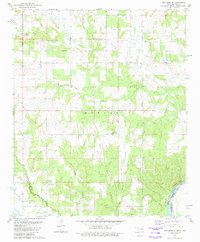
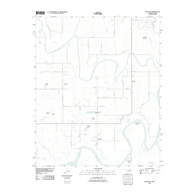
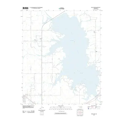
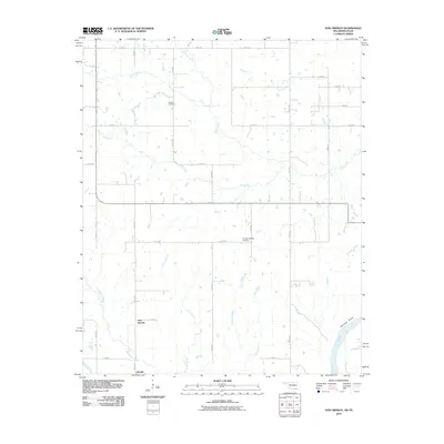
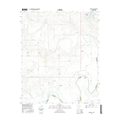
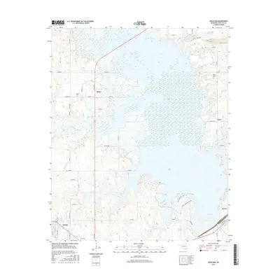
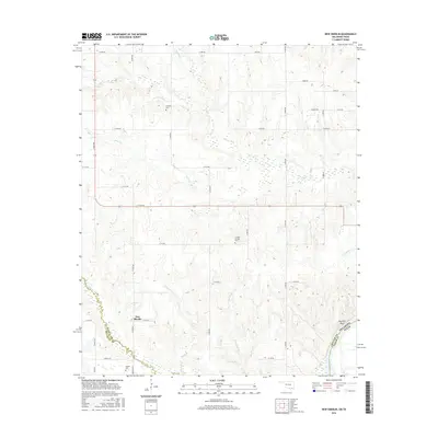
Historical Maps of Bunker Hill Through Time
37 maps found
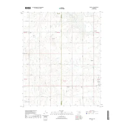
1948 Direct
Choctaw County, OK
1949 Direct
Choctaw County, OK
1951 Frogville
Choctaw County, OK
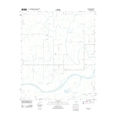
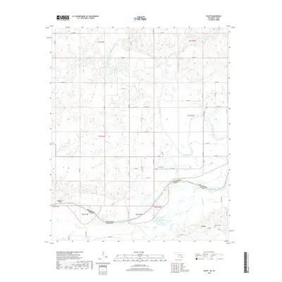
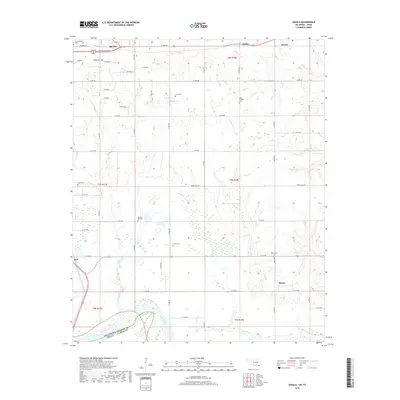
1951 Shoals
Choctaw County, OK
1969 Boswell SW
Choctaw County, OK
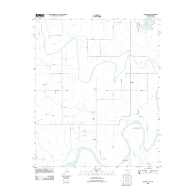
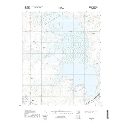
1971 Hugo Dam
Choctaw County, OK
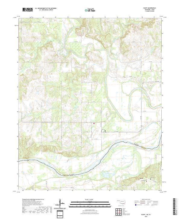
1980 Bluff
Choctaw County, OK
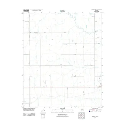
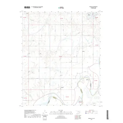
1980 New Oberlin
Choctaw County, OK
2009 Boswell SW
Choctaw County, OK
2010 Frogville
Choctaw County, OK
2010 Hugo Dam
Choctaw County, OK
2010 New Oberlin
Choctaw County, OK
2010 Shoals
Choctaw County, OK
2012 Bluff
Choctaw County, OK
2012 Boswell SW
Choctaw County, OK
2012 Frogville
Choctaw County, OK
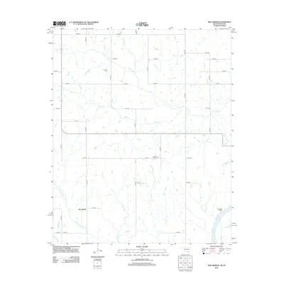
2012 New Oberlin
Choctaw County, OK
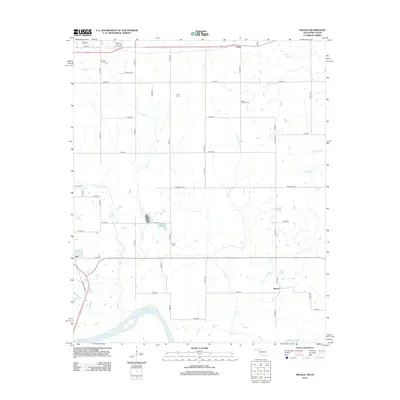
2012 Shoals
Choctaw County, OK
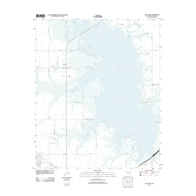
2013 Hugo Dam
Choctaw County, OK
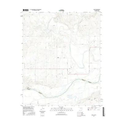
2016 Bluff
Choctaw County, OK
2016 Boswell SW
Choctaw County, OK
2016 Frogville
Choctaw County, OK
2016 Hugo Dam
Choctaw County, OK
2016 New Oberlin
Choctaw County, OK
2016 Shoals
Choctaw County, OK
2018 Bluff
Choctaw County, OK
2018 Boswell SW
Choctaw County, OK
2018 Frogville
Choctaw County, OK
2018 New Oberlin
Choctaw County, OK
2018 Shoals
Choctaw County, OK
2019 Hugo Dam
Choctaw County, OK
2022 Bluff
Choctaw County, OK
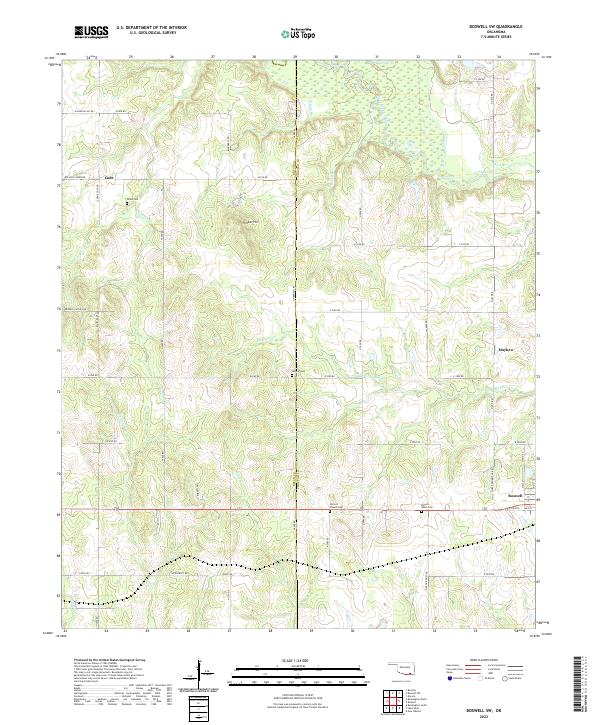
2022 Boswell SW
Choctaw County, OK
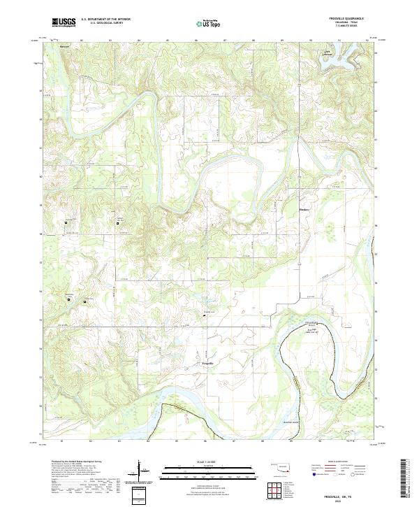
2022 Frogville
Choctaw County, OK
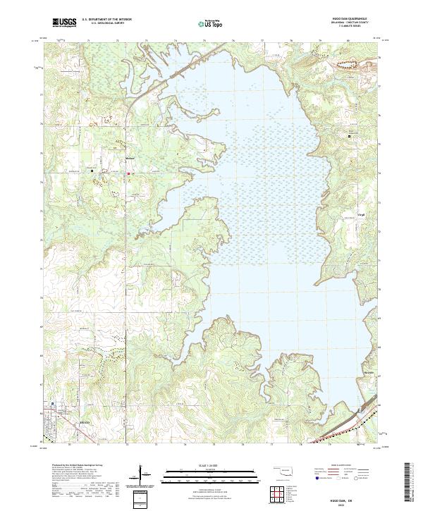
2022 Hugo Dam
Choctaw County, OK
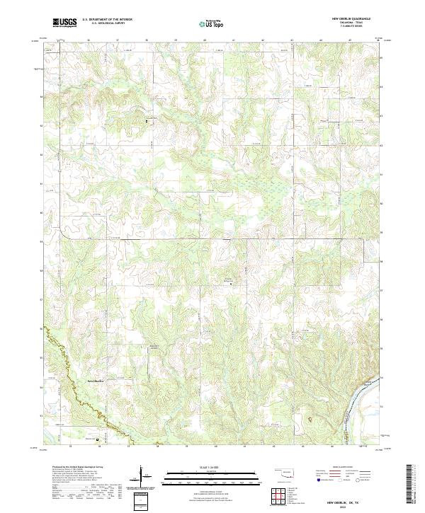
2022 New Oberlin
Choctaw County, OK
2022 Shoals
Choctaw County, OK