
1912 Map of Antlers
USGS Topo · Published 1912About this map
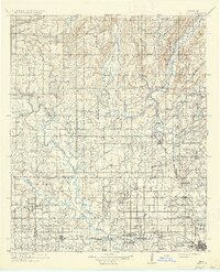
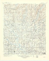
Antlers serves as a central hub in this landscape where the St Louis and San Francisco railroad follows the course of the Kiamichi River. The map reveals a region transitioning from raw frontier to a structured network of rural communities, particularly evident in the high density of country schools like Nelson Chapel School, Maxwell School, and Roebuck School. An Asphalt Mine near Jumbo and isolated outposts like Niles Store highlight the early industrial and commercial footprints in the Choctaw Nation territory.
Find a feature on this map
91 named features on this map. Tap any name to fly to it.
Don’t see what you’re looking for? This feature index may not catch every label — zoom into the map to look around manually.
Map Details
Editions of this 1912 Antlers Map
3 editions found
Other maps of this area

1896 · Coalgate
USGS Topo · 1:125,000

1898 · McAlester
USGS Topo · 1:125,000

1899 · Coalgate
USGS Topo · 1:125,000

1899 · Atoka
USGS Topo · 1:125,000

1900 · Atoka
USGS Topo · 1:125,000

1900 · Coalgate
USGS Topo · 1:125,000

1901 · Antlers
USGS Topo · 1:125,000

1901 · Tuskahoma
USGS Topo · 1:125,000

1901 · Alikchi
USGS Topo · 1:125,000

1903 · Paris
USGS Topo · 1:125,000