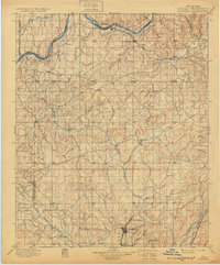
1896 Map of Coalgate
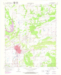
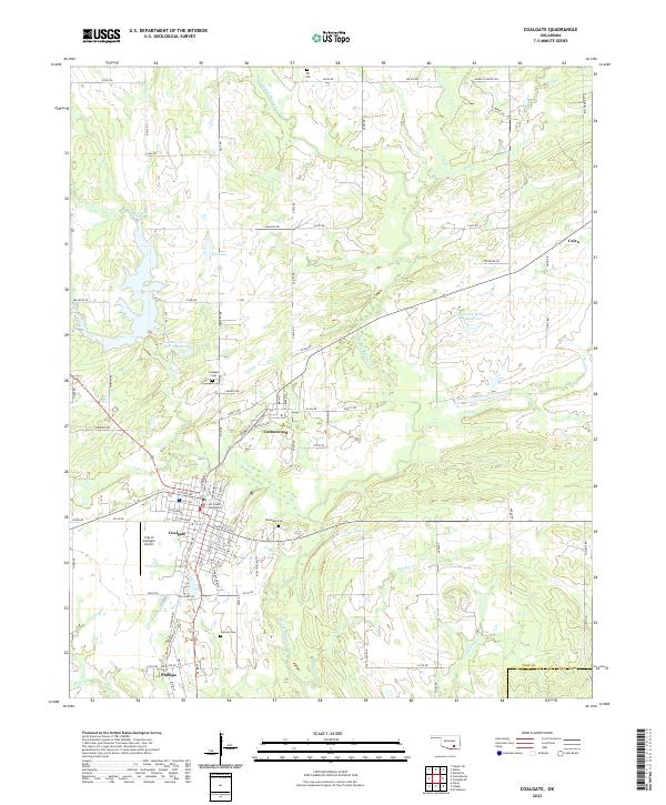
USGS Topo · Published 1957About this map
Boundary lines for the Chickasaw Nation and Choctaw Nation intersect this late nineteenth-century landscape, a territory defined by the convergence of tribal lands and the arriving infrastructure of the Missouri Kansas and Texas RR. The settlement of Coalgate serves as a primary hub in the south, supported by neighboring Phillips and Cottonwood. This survey, conducted by C.H. Fitch and Van H. Manning, captures the region before Oklahoma statehood, when the Canadian River and Little River marked significant geographical limits in the north. Numerous small communities like Calvin, Stuart, and Gerty are linked by a complex network of waterways including Muddy Boggy Creek and Caney Creek. The map provides a detailed view of the early rail-and-river economy, showing the Gulf Colorado and Santa Fe RR crossing through Allen as it heads toward the Indian Territory's interior.
Find a feature on this map
80 named features on this map. Tap any name to fly to it.
Don’t see what you’re looking for? This feature index may not catch every label — zoom into the map to look around manually.
Map Details
Editions of this 1896 Coalgate Map
This is the sole edition of this map. No revisions or reprints were ever made.
Historical Maps of Coalgate Through Time
9 maps found