
1900 Map of Wewoka
USGS Topo · Published 1900About this map
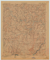
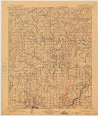
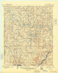
Tribal boundaries define the political landscape of the Indian Territory on this 1900 sheet, where the Seminole Nation, Creek Nation, and Choctaw Nation converge. The North Fork Canadian River meanders across the central terrain, while the Canadian River cuts through the southeastern corner. Early outposts like Arbeka and Wewumka anchor the river valleys alongside spiritual and educational centers such as the Baptist Mission. The arrival of the Oklahoma and Gulf R. R. through Holdenville signals the era's shift toward industrial infrastructure just before statehood. For family historians, the presence of specific rural landmarks like Marks Store and Watsouville provides precise coordinates for homesteads established in the late nineteenth century, situated among family-named watercourses like Long George Creek and Grier Creek.
Find a feature on this map
43 named features on this map. Tap any name to fly to it.
Don’t see what you’re looking for? This feature index may not catch every label — zoom into the map to look around manually.
Map Details
Editions of this 1900 Wewoka Map
4 editions found
Other maps of this area

1896 · Seminole and Prague
USGS Topo · 1:125,000

1896 · Okmulgee
USGS Topo · 1:125,000

1896 · Coalgate
USGS Topo · 1:125,000

1898 · McAlester
USGS Topo · 1:125,000

1899 · Coalgate
USGS Topo · 1:125,000

1900 · Canadian
USGS Topo · 1:125,000

1900 · Okmulgee
USGS Topo · 1:125,000

1900 · Coalgate
USGS Topo · 1:125,000

1901 · Stonewall
USGS Topo · 1:125,000

1901 · Nuyaka
USGS Topo · 1:125,000