
Loading...
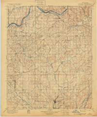
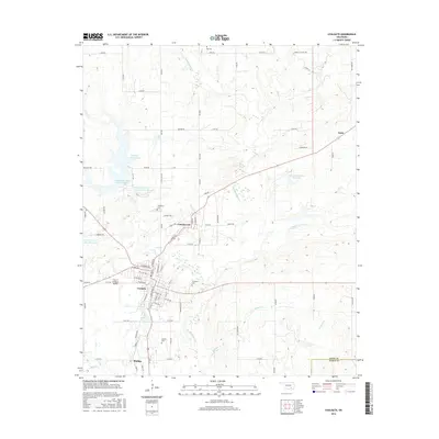
Loading map...1899 Map of Coalgate
USGS Topo · Published 1899About this map
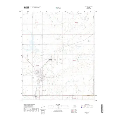
The Seminole Nation, Chickasaw Nation, and Choctaw Nation boundaries converge in this late nineteenth-century survey of Indian Territory. The landscape is defined by the extensive drainage systems of the Canadian River to the north and the complex network of Muddy Boggy Creek and its many tributaries, including Clear Creek and Caney Creek, which flow southward.
Find a feature on this map
78 named features on this map. Tap any name to fly to it.
Don’t see what you’re looking for? This feature index may not catch every label — zoom into the map to look around manually.
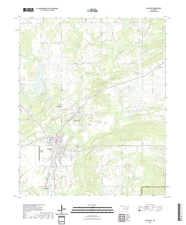
Map Details
Date Portrayed1899
Date Published1899
PublisherU.S. Geological Survey
Map TypeTopographic
Scale1:125,000
Physical Dimensions17.5 x 19.4 inches
Editions of this 1899 Coalgate Map
This is the sole edition of this map. No revisions or reprints were ever made.
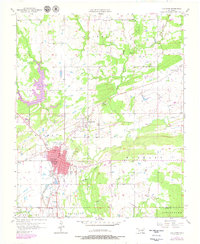
Historical Maps of Coalgate Through Time
9 maps found

Featured Locations
Source Details
SourceU.S. Geological Survey
CopyrightPublic Domain