
1900 Map of Coalgate
USGS Topo · Published 1900About this map
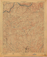
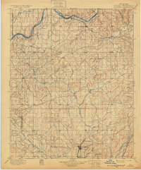
The tribal jurisdictions of the Seminole Nation, Chickasaw Nation, and Choctaw Nation converge in this territory, where boundary lines cut across a landscape defined by the drainage basins of the Canadian River and Muddy Boggy Creek. The map documents the region during the transition toward statehood, centered on the mining and rail hub of Coalgate and the nearby settlement of Phillips. The industrial influence of the M. K. and T. R. R. is evident in the south, connecting coal-producing areas to broader markets. Beyond the burgeoning towns, the terrain is marked by the Shawnee Hills and Limestone Ridge, while numerous small settlements like Guertie, Citra, and Nixon serve as remote outposts. This survey records a specific moment in the late nineteenth century when cattle trails and early rail lines dictated the placement of post offices and supply points across the Indian Territory.
Find a feature on this map
85 named features on this map. Tap any name to fly to it.
Don’t see what you’re looking for? This feature index may not catch every label — zoom into the map to look around manually.
Map Details
Editions of this 1900 Coalgate Map
3 editions found
Other maps of this area

1896 · Seminole and Prague
USGS Topo · 1:125,000

1896 · Coalgate
USGS Topo · 1:125,000

1898 · McAlester
USGS Topo · 1:125,000

1899 · Coalgate
USGS Topo · 1:125,000

1899 · Atoka
USGS Topo · 1:125,000

1900 · Canadian
USGS Topo · 1:125,000

1900 · Wewoka
USGS Topo · 1:125,000

1900 · Atoka
USGS Topo · 1:125,000

1901 · Stonewall
USGS Topo · 1:125,000

1901 · Tishomingo
USGS Topo · 1:125,000