
1901 Map of Alikchi
USGS Topo · Published 1901About this map
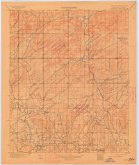
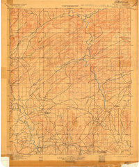
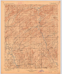
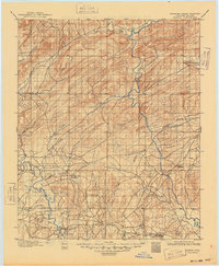
Old Spencer Academy and Oak Hill Academy serve as central landmarks in this late 19th-century survey of the (Choctaw Nation). The landscape is defined by the winding paths of the Kiamichi River and the Little River, which are fed by numerous watercourses including Cloudy Creek and Turkey Creek. The presence of Fort Towson and the settlement of Doaksville near the southern border highlights the area's established history prior to Oklahoma's statehood. Transport across these waterways was facilitated by points like the Rook Chimney Ferry on the Kiamichi. The map records a pre-industrial era where topography and river systems dictated the placement of small communities like Alikchi and the distribution of pioneer-era academies.
Find a feature on this map
30 named features on this map. Tap any name to fly to it.
Don’t see what you’re looking for? This feature index may not catch every label — zoom into the map to look around manually.
Map Details
Editions of this 1901 Alikchi Map
5 editions found
Other maps of this area

1898 · McAlester
USGS Topo · 1:125,000

1900 · Winding Stair
USGS Topo · 1:125,000

1901 · Antlers
USGS Topo · 1:125,000

1901 · Tuskahoma
USGS Topo · 1:125,000

1902 · Lukfata
USGS Topo · 1:125,000

1903 · Paris
USGS Topo · 1:125,000

1908 · Tuskahoma
USGS Topo · 1:125,000

1909 · Mc Alester
USGS Topo · 1:125,000

1909 · Tuskahoma
USGS Topo · 1:125,000

1909 · Winding Stair
USGS Topo · 1:125,000