
1909 Map of Winding Stair
USGS Topo · Published 1909About this map
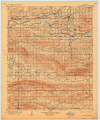
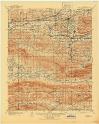
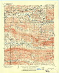
The Winding Stair Mountain dominates the center of this 1909 survey, illustrating the rugged landscape of southeastern Oklahoma just after statehood. In the northern valley, a dense network of rail lines including the Chicago Rock Island and Pacific RR and the Kansas City Southern RR intersect at hubs like Wister and Howe, supporting the regional timber and mineral economy. The settlement pattern follows these transit corridors, with towns such as Heavener, Leflore, and Fanshawe established along the tracks.
Find a feature on this map
73 named features on this map. Tap any name to fly to it.
Don’t see what you’re looking for? This feature index may not catch every label — zoom into the map to look around manually.
Map Details
Editions of this 1909 Winding Stair Map
4 editions found
Other maps of this area

1887 · Poteau Mountain #2
USGS Topo · 1:62,500

1887 · Greenwood
USGS Topo · 1:62,500

1890 · Fort Smith
USGS Topo · 1:125,000

1890 · Poteau Mountain
USGS Topo · 1:125,000

1899 · Poteau Mountain
USGS Topo · 1:125,000

1900 · Sansbois
USGS Topo · 1:125,000

1900 · Sallisaw
USGS Topo · 1:125,000

1900 · Winding Stair
USGS Topo · 1:125,000

1901 · Tuskahoma
USGS Topo · 1:125,000

1901 · Alikchi
USGS Topo · 1:125,000