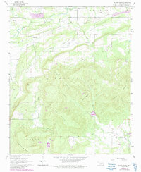
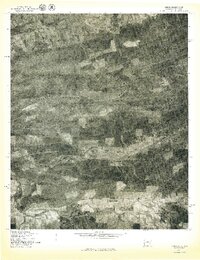
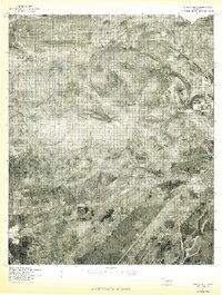
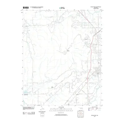
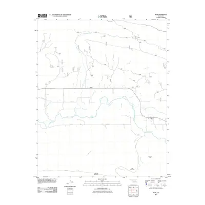
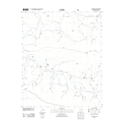
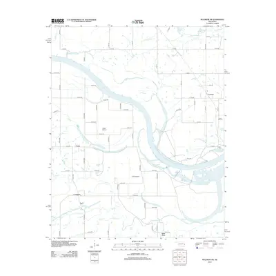
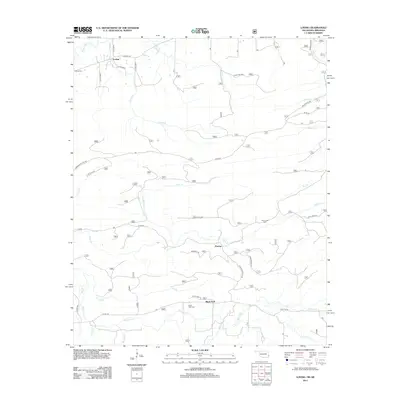
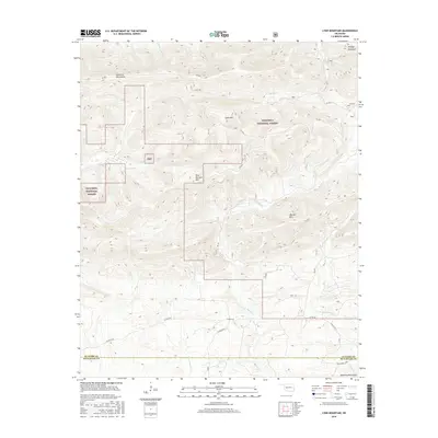
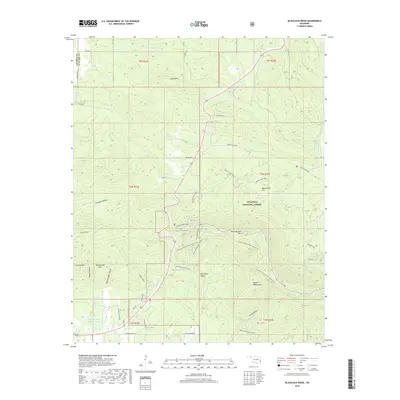
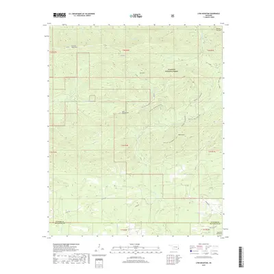
1909 Map of Winding Stair
USGS Topo · Published 1928About this map
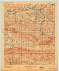
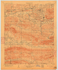
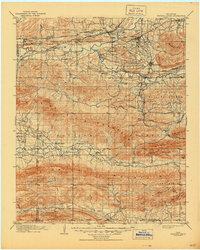
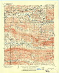
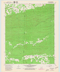
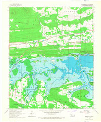
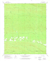
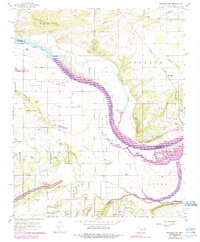
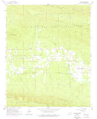
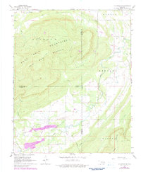
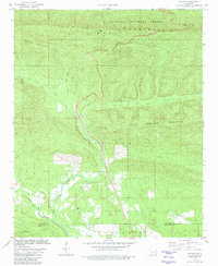
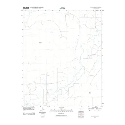
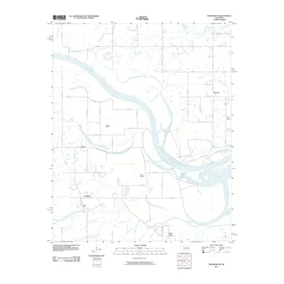
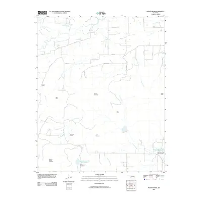
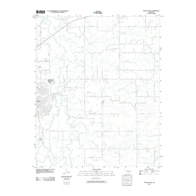
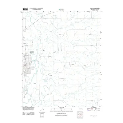
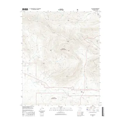
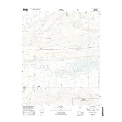
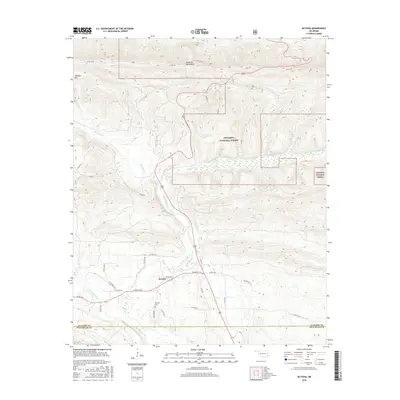
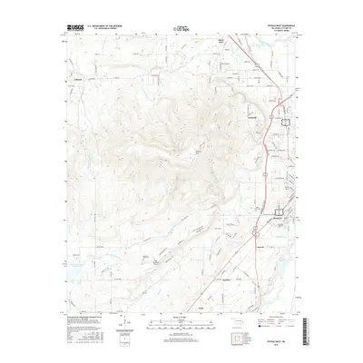
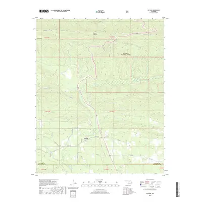
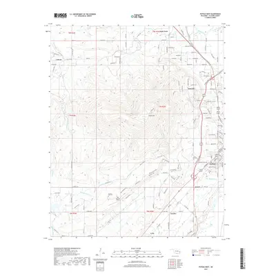
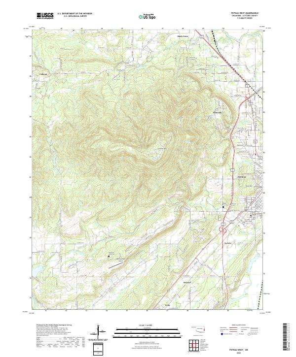
Winding Stair Mountain and Kiamichi Mountain dominate this Choctaw Nation landscape during a period of significant industrial expansion. The northern portion of the territory is defined by a dense network of competing rail lines, including the St Louis and San Francisco RR and the Chicago Rock Island and Pacific RR, which connect early coal-mining and timber settlements like Fanshawe, Wister, and Heavener. The presence of the Kansas City Southern RR slicing north-to-south through the ridges illustrates how transportation corridors were forced through the narrow gaps of the Ouachita Mountains.
Find a feature on this map
71 named features on this map. Tap any name to fly to it.
Don’t see what you’re looking for? This feature index may not catch every label — zoom into the map to look around manually.
Map Details
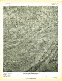
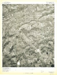
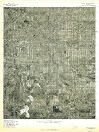
Editions of this 1909 Winding Stair Map
4 editions found
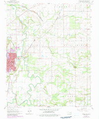
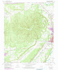
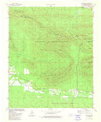
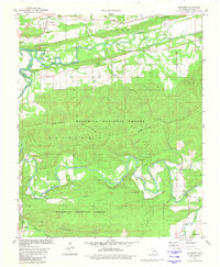
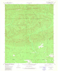
Historical Maps of Poteau Through Time
123 maps found
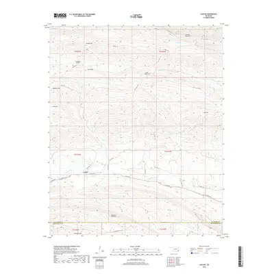
1909 Winding Stair
Le Flore County, OK
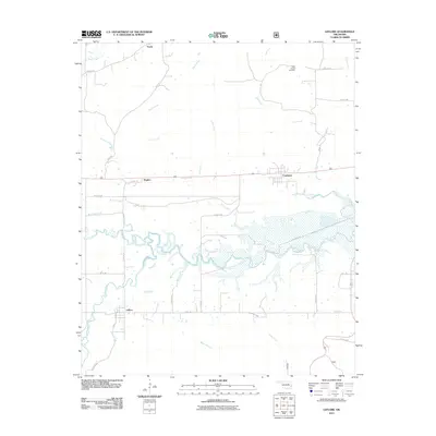
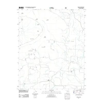
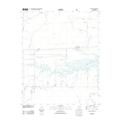
1958 Loving
Le Flore County, OK
1958 Zafra
Le Flore County, OK
1959 Page
Le Flore County, OK
1965 Leflore
Le Flore County, OK
1965 Summerfield
Le Flore County, OK
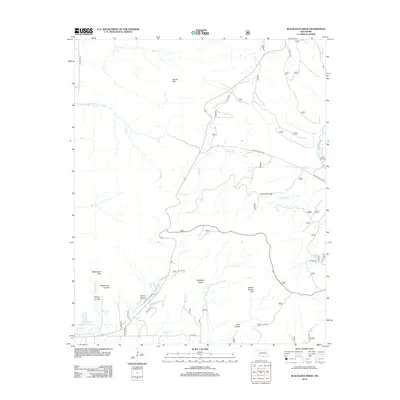
1966 Blackjack Ridge
Le Flore County, OK
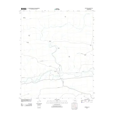
1966 Honobia
Le Flore County, OK
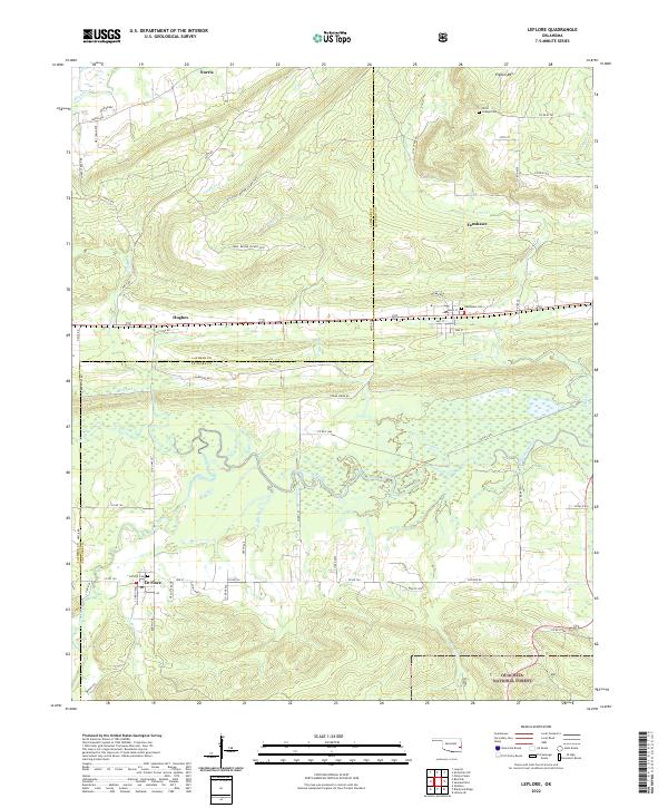
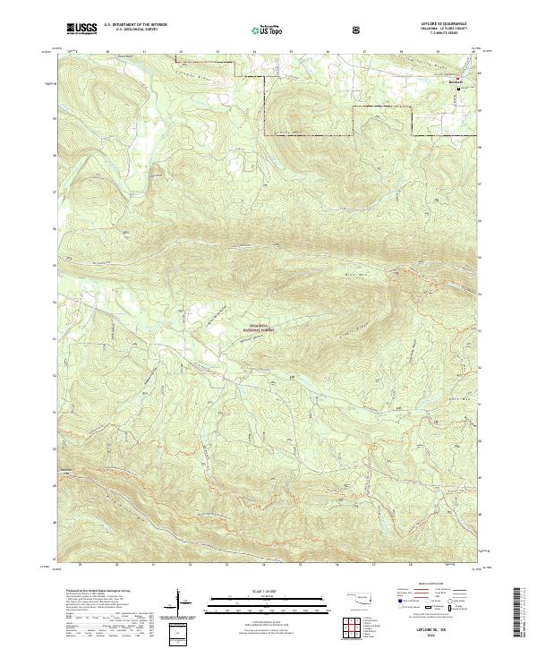
1966 Leflore SE
Le Flore County, OK
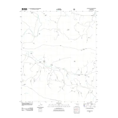
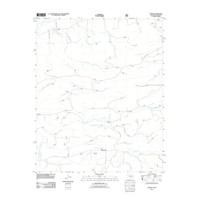
1966 Ludlow
Le Flore County, OK
1966 Muldrow SW
Le Flore County, OK
1966 Muse
Le Flore County, OK
1968 Mc Curtain SW
Le Flore County, OK
1968 Potato Peaks
Le Flore County, OK
1968 Poteau East
Le Flore County, OK
1968 Poteau West
Le Flore County, OK

1970 Muldrow SW
Le Flore County, OK
1976 Heavener SE
Le Flore County, OK
1977 Loving
Le Flore County, OK
1977 Mc Curtain SW
Le Flore County, OK
1977 Potato Peaks
Le Flore County, OK
1977 Poteau East
Le Flore County, OK
1977 Poteau West
Le Flore County, OK
1981 Big Cedar
Le Flore County, OK
1981 Hontubby
Le Flore County, OK
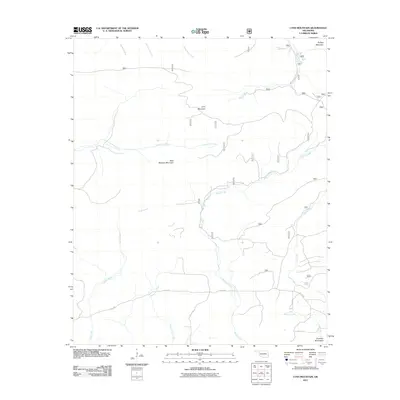
1981 Lynn Mountain
Le Flore County, OK
1981 Octavia
Le Flore County, OK
1981 Page
Le Flore County, OK
2010 Honobia
Le Flore County, OK
2010 Ludlow
Le Flore County, OK
2010 McCurtain SW
Le Flore County, OK
2010 Muldrow SW
Le Flore County, OK
2010 Potato Peaks
Le Flore County, OK
2010 Poteau East
Le Flore County, OK
2010 Poteau West
Le Flore County, OK
2011 Big Cedar
Le Flore County, OK
2011 Blackjack Ridge
Le Flore County, OK
2011 Hontubby
Le Flore County, OK
2011 Leflore
Le Flore County, OK
2011 Leflore SE
Le Flore County, OK
2011 Loving
Le Flore County, OK
2011 Lynn Mountain
Le Flore County, OK
2011 Muse
Le Flore County, OK
2011 Octavia
Le Flore County, OK
2011 Page
Le Flore County, OK
2011 Summerfield
Le Flore County, OK
2011 Zafra
Le Flore County, OK
2012 Blackjack Ridge
Le Flore County, OK
2012 Honobia
Le Flore County, OK
2012 Leflore
Le Flore County, OK
2012 Leflore SE
Le Flore County, OK
2012 Ludlow
Le Flore County, OK
2012 Lynn Mountain
Le Flore County, OK
2012 McCurtain SW
Le Flore County, OK
2012 Muldrow SW
Le Flore County, OK
2012 Muse
Le Flore County, OK
2012 Octavia
Le Flore County, OK
2012 Potato Peaks
Le Flore County, OK
2012 Poteau East
Le Flore County, OK
2012 Poteau West
Le Flore County, OK
2013 Big Cedar
Le Flore County, OK
2013 Hontubby
Le Flore County, OK
2013 Loving
Le Flore County, OK
2013 Page
Le Flore County, OK
2013 Summerfield
Le Flore County, OK
2013 Zafra
Le Flore County, OK
2016 Big Cedar
Le Flore County, OK
2016 Blackjack Ridge
Le Flore County, OK
2016 Honobia
Le Flore County, OK
2016 Hontubby
Le Flore County, OK
2016 Leflore
Le Flore County, OK
2016 Leflore SE
Le Flore County, OK
2016 Loving
Le Flore County, OK
2016 Ludlow
Le Flore County, OK
2016 Lynn Mountain
Le Flore County, OK
2016 McCurtain SW
Le Flore County, OK
2016 Muldrow SW
Le Flore County, OK
2016 Muse
Le Flore County, OK
2016 Octavia
Le Flore County, OK
2016 Page
Le Flore County, OK
2016 Potato Peaks
Le Flore County, OK
2016 Poteau East
Le Flore County, OK
2016 Poteau West
Le Flore County, OK
2016 Summerfield
Le Flore County, OK
2016 Zafra
Le Flore County, OK
2018 Big Cedar
Le Flore County, OK
2018 Blackjack Ridge
Le Flore County, OK
2018 Hontubby
Le Flore County, OK
2018 Leflore
Le Flore County, OK
2018 Leflore SE
Le Flore County, OK
2018 Ludlow
Le Flore County, OK
2018 Lynn Mountain
Le Flore County, OK
2018 McCurtain SW
Le Flore County, OK
2018 Muldrow SW
Le Flore County, OK

2018 Muse
Le Flore County, OK
2018 Octavia
Le Flore County, OK
2018 Page
Le Flore County, OK
2018 Potato Peaks
Le Flore County, OK
2018 Poteau East
Le Flore County, OK
2018 Poteau West
Le Flore County, OK
2018 Summerfield
Le Flore County, OK

2019 Honobia
Le Flore County, OK
2019 Loving
Le Flore County, OK
2019 Zafra
Le Flore County, OK
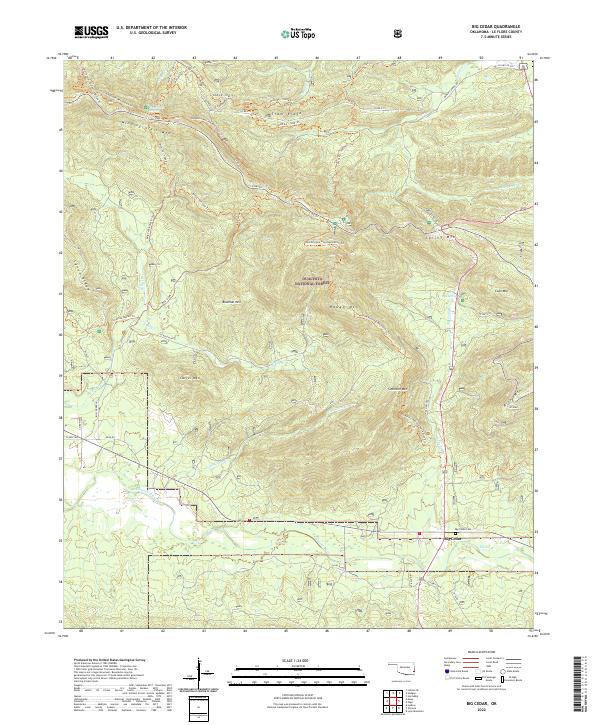
2022 Big Cedar
Le Flore County, OK
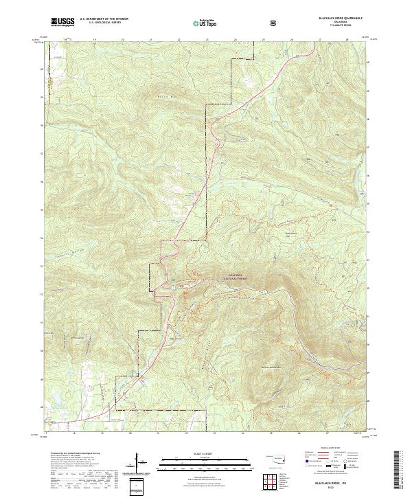
2022 Blackjack Ridge
Le Flore County, OK
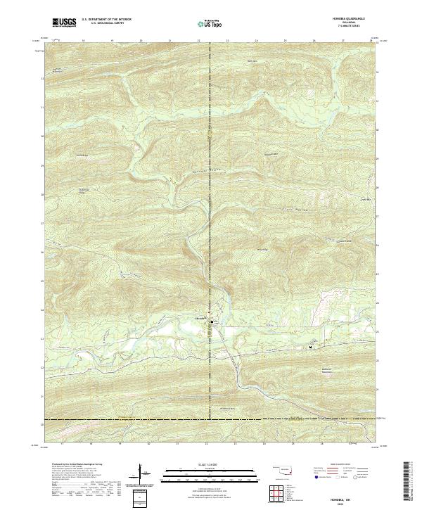
2022 Honobia
Le Flore County, OK
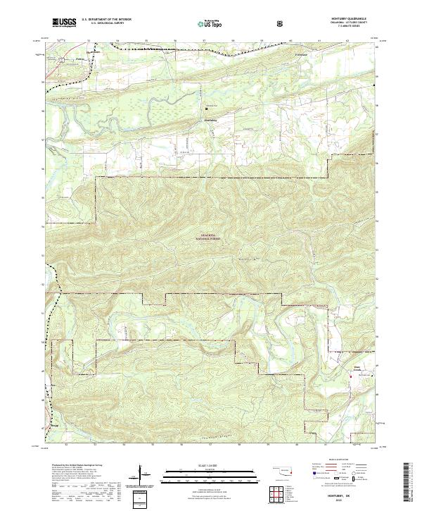
2022 Hontubby
Le Flore County, OK
2022 Leflore
Le Flore County, OK
2022 Leflore SE
Le Flore County, OK
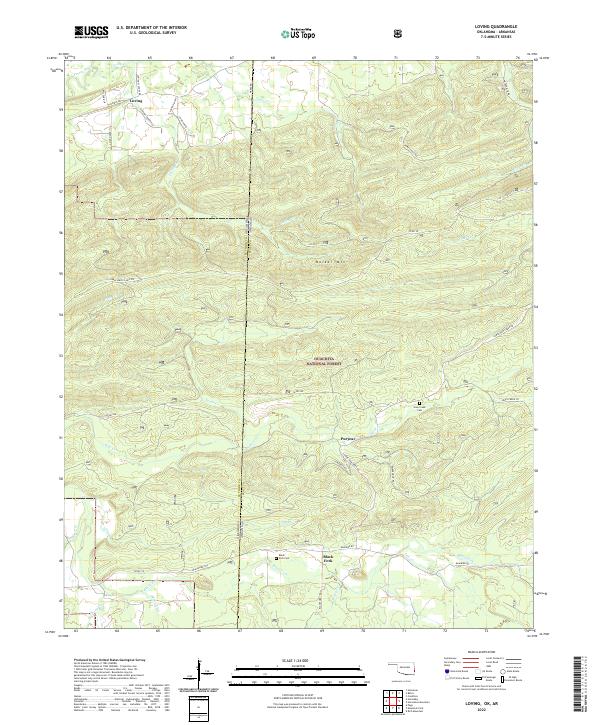
2022 Loving
Le Flore County, OK
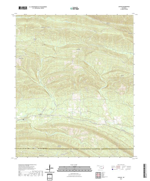
2022 Ludlow
Le Flore County, OK
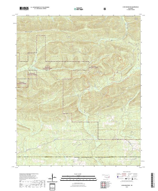
2022 Lynn Mountain
Le Flore County, OK
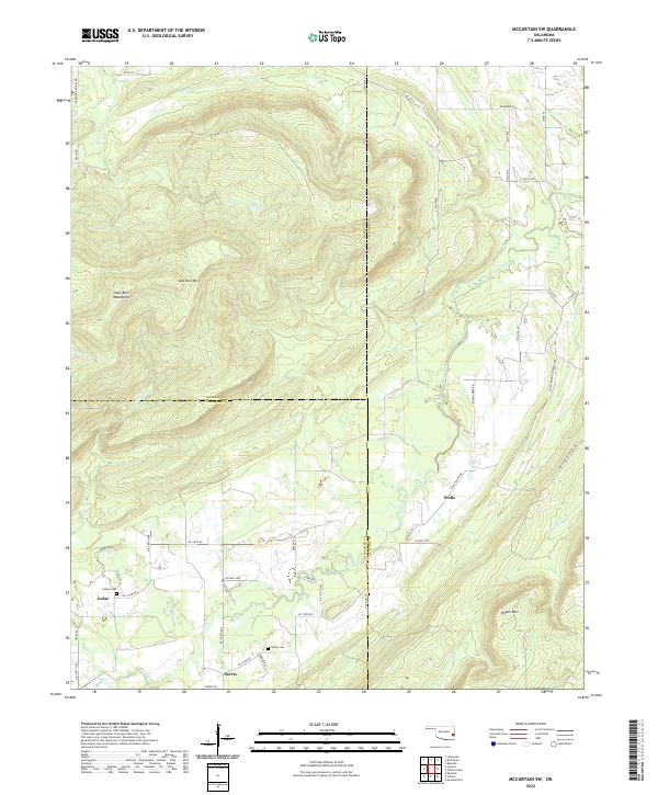
2022 McCurtain SW
Le Flore County, OK
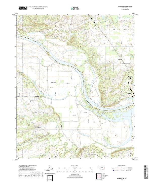
2022 Muldrow SW
Le Flore County, OK
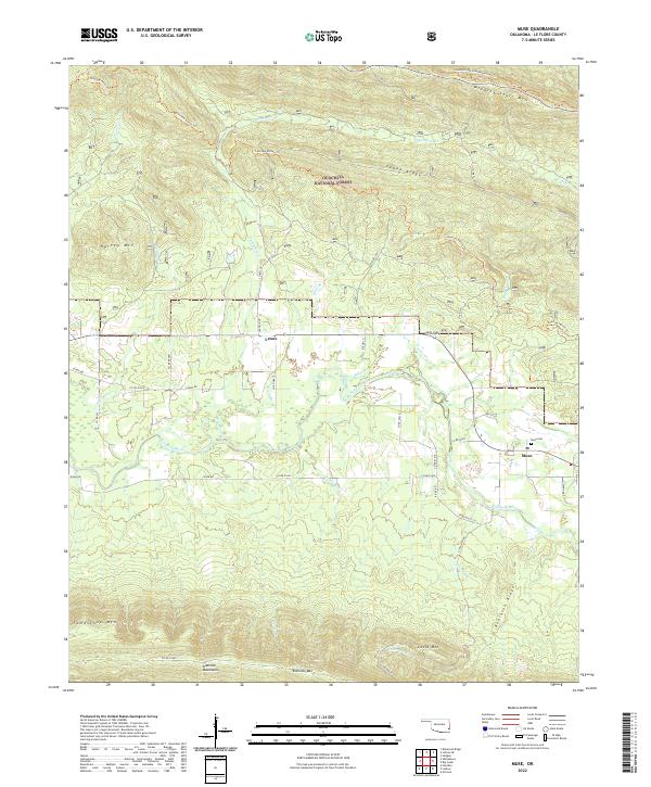
2022 Muse
Le Flore County, OK
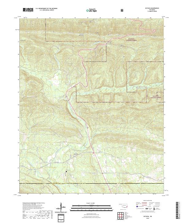
2022 Octavia
Le Flore County, OK
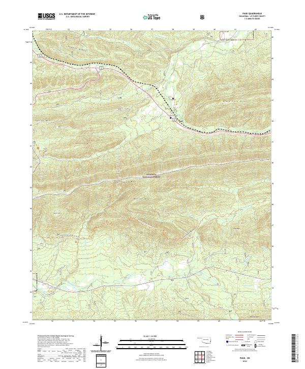
2022 Page
Le Flore County, OK
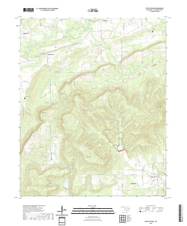
2022 Potato Peaks
Le Flore County, OK
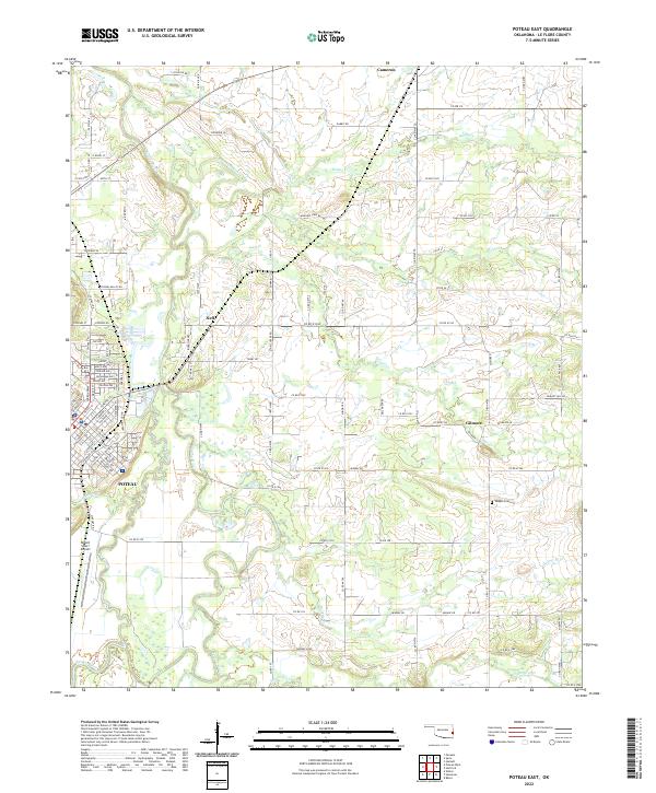
2022 Poteau East
Le Flore County, OK
2022 Poteau West
Le Flore County, OK
2022 Summerfield
Le Flore County, OK
2022 Zafra
Le Flore County, OK