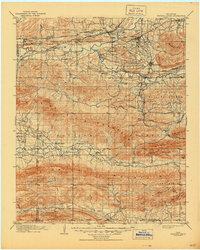
1909 Map of Winding Stair
USGS Topo · Published 1944About this map
Heavener and Wister serve as major railway junctions in this detailed turn-of-the-century landscape, where the Chicago Rock Island and Pacific RR meets the Kansas City Southern RR. The region is defined by the parallel ridges of the Winding Stair Mountains and Kiamichi Mountain, which hem in the narrow valleys of the Poteau River and the Kiamichi River. Early 20th-century settlements like Le Flore, Whitesboro, and Muse are scattered along the riverbanks and rail sidings, reflecting a period when small-scale agriculture and the burgeoning timber industry within the Ouachita National Forest drove the local economy. The mapping also identifies numerous mountain passes and smaller peaks such as Quentin Peak and Wilton Mtn, providing a precise record of the terrain before later decades of development modified the southeastern Oklahoma wilderness.
Find a feature on this map
71 named features on this map. Tap any name to fly to it.
Don’t see what you’re looking for? This feature index may not catch every label — zoom into the map to look around manually.
Map Details
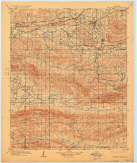
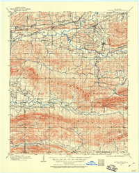
Editions of this 1909 Winding Stair Map
4 editions found

Other maps of this area

1887 · Poteau Mountain #2
USGS Topo · 1:62,500

1887 · Greenwood
USGS Topo · 1:62,500

1890 · Fort Smith
USGS Topo · 1:125,000

1890 · Poteau Mountain
USGS Topo · 1:125,000

1899 · Poteau Mountain
USGS Topo · 1:125,000

1900 · Sansbois
USGS Topo · 1:125,000

1900 · Sallisaw
USGS Topo · 1:125,000

1900 · Winding Stair
USGS Topo · 1:125,000

1901 · Tuskahoma
USGS Topo · 1:125,000

1901 · Alikchi
USGS Topo · 1:125,000