
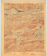
1909 Map of Tuskahoma
USGS Topo · Published 1909About this map
Choctaw Council House serves as a cultural and political anchor in this territory, situated north of the Kiamichi River near the town of Tuskahoma. This early 20th-century landscape is defined by the convergence of major mountain ranges and the industrial pulse of competing railroads. The Chicago Rock Island and Pacific spans the northern corridor through Wilburton and Lutie, while the St Louis and San Francisco line cuts through the southern valley, linking Clayton, Tuskahoma, and Albion.
Find a feature on this map
58 named features on this map. Tap any name to fly to it.
Don’t see what you’re looking for? This feature index may not catch every label — zoom into the map to look around manually.
Map Details
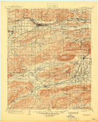
Editions of this 1909 Tuskahoma Map
3 editions found
Other maps of this area

1898 · McAlester
USGS Topo · 1:125,000

1900 · Sansbois
USGS Topo · 1:125,000

1900 · Canadian
USGS Topo · 1:125,000

1900 · Sallisaw
USGS Topo · 1:125,000

1900 · Winding Stair
USGS Topo · 1:125,000

1901 · Antlers
USGS Topo · 1:125,000

1901 · Tuskahoma
USGS Topo · 1:125,000

1901 · Alikchi
USGS Topo · 1:125,000

1902 · Lukfata
USGS Topo · 1:125,000

1908 · Tuskahoma
USGS Topo · 1:125,000