
1902 Map of Lukfata
USGS Topo · Published 1902About this map
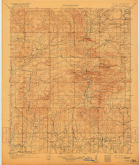
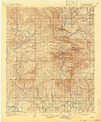
Indian Territory lands in the late 19th century are defined by the rugged terrain of the Pine Mountains and the winding course of the Mountain Fork River. This topographic study, based on 1896 surveys, shows a landscape prior to Oklahoma statehood, where small communities like Smithville and Hochatown served as vital hubs in the Choctaw Nation. The geography is characterized by a dense network of waterways, including Glover Creek and Cedar Creek, which influenced the placement of early settlements and commerce centers like Williams Store.
Find a feature on this map
39 named features on this map. Tap any name to fly to it.
Don’t see what you’re looking for? This feature index may not catch every label — zoom into the map to look around manually.
Map Details
Editions of this 1902 Lukfata Map
3 editions found
Other maps of this area

1890 · Poteau Mountain
USGS Topo · 1:125,000

1899 · Poteau Mountain
USGS Topo · 1:125,000

1900 · Winding Stair
USGS Topo · 1:125,000

1901 · Tuskahoma
USGS Topo · 1:125,000

1901 · Alikchi
USGS Topo · 1:125,000

1908 · Tuskahoma
USGS Topo · 1:125,000

1909 · Tuskahoma
USGS Topo · 1:125,000

1909 · Winding Stair
USGS Topo · 1:125,000

1913 · De Queen
USGS Topo · 1:125,000

1950 · Mcalester
USGS Topo · 1:250,000