
1913 Map of De Queen
USGS Topo · Published 1913About this map
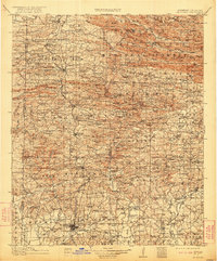
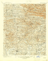
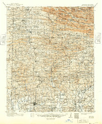
De Queen serves as the focal point of this pre-war study, situated where the Kansas City Southern RR traverses the southern Arkansas timberlands. The landscape to the north is dominated by the Ouachita National Forest, where high ridges like Smoke Rock Mtn and the Hanna Range tower over narrow creek valleys. This era was defined by a dense network of remote rural institutions, including the Welcome Home School and Cecil Chapel, which supported the small agrarian and lumber communities scattered throughout the Rolling Fork and Cossatot River basins.
Find a feature on this map
161 named features on this map. Tap any name to fly to it.
Don’t see what you’re looking for? This feature index may not catch every label — zoom into the map to look around manually.
Map Details
Editions of this 1913 De Queen Map
4 editions found
Other maps of this area

1890 · Mount Ida
USGS Topo · 1:125,000

1890 · Poteau Mountain
USGS Topo · 1:125,000

1899 · Poteau Mountain
USGS Topo · 1:125,000

1900 · Winding Stair
USGS Topo · 1:125,000

1902 · Lukfata
USGS Topo · 1:125,000

1906 · Caddo Gap
USGS Topo · 1:125,000

1909 · Winding Stair
USGS Topo · 1:125,000

1936 · Athens
USGS Topo · 1:48,000

1942 · Athens
USGS Topo · 1:62,500

1950 · Mcalester
USGS Topo · 1:250,000