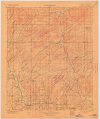
1901 Map of Alikchi
USGS Topo · Published 1915About this map
The Choctaw Nation in Indian Territory is captured here shortly before Oklahoma statehood, revealing a landscape defined by the drainage systems of the Kiamichi River and the Little River. The settlement pattern follows the river valleys and early trails, anchored by the community of Alikchi and the historic grounds of Doaksville. The presence of Old Spencer Academy and Oak Hill Academy indicates the established educational infrastructure within the nation during this transitional era.
Find a feature on this map
29 named features on this map. Tap any name to fly to it.
Don’t see what you’re looking for? This feature index may not catch every label — zoom into the map to look around manually.
Map Details
Editions of this 1901 Alikchi Map
5 editions found
Other maps of this area

1898 · McAlester
USGS Topo · 1:125,000

1900 · Winding Stair
USGS Topo · 1:125,000

1901 · Antlers
USGS Topo · 1:125,000

1901 · Tuskahoma
USGS Topo · 1:125,000

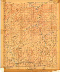
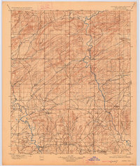
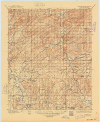
1901 · Alikchi
USGS Topo · 1:125,000

1902 · Lukfata
USGS Topo · 1:125,000

1903 · Paris
USGS Topo · 1:125,000

1908 · Tuskahoma
USGS Topo · 1:125,000

1909 · Mc Alester
USGS Topo · 1:125,000

1909 · Tuskahoma
USGS Topo · 1:125,000