
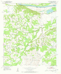
1951 Map of Slate Shoals
USGS Topo · Published 1952About this map
The Red River corridor north of Paris, Texas, defines the character of this mid-century survey, where the river channel serves as the Oklahoma-Texas boundary. The landscape is dotted with rural community anchors, particularly a high density of country churches and schools that reflect the local social fabric of the early 1950s. While Slate Shoals sits near the river bluffs, other small centers like Medill and Novice anchor the agricultural interior. The presence of the Pee Dee Sch (Abandoned) suggests a shift in rural education patterns by this era. Natural features like Womack Lake and the meandering Pine Creek break up the parcelled farmland, while numerous family-associated landmarks such as Reeds Chapel and Oak Hill Cem provide essential data for those tracing ancestral roots in northern Lamar County.
Find a feature on this map
24 named features on this map. Tap any name to fly to it.
Don’t see what you’re looking for? This feature index may not catch every label — zoom into the map to look around manually.
Map Details
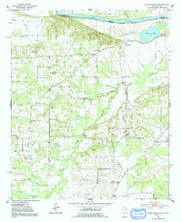
Editions of this 1951 Slate Shoals Map
Other maps of this area

1903 · Paris
USGS Topo · 1:125,000

1948 · Grant
USGS Topo · 1:62,500

1948 · Paris
USGS Topo · 1:62,500

1949 · Grant
USGS Topo · 1:62,500

1949 · Paris
USGS Topo · 1:62,500

1951 · Frogville
USGS Topo · 1:24,000

1951 · Shoals
USGS Topo · 1:24,000

1951 · Woodland
USGS Topo · 1:24,000

1953 · Texarkana
USGS Topo · 1:250,000

1956 · Texarkana
USGS Topo · 1:250,000