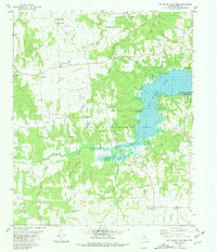
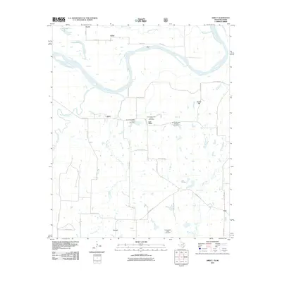
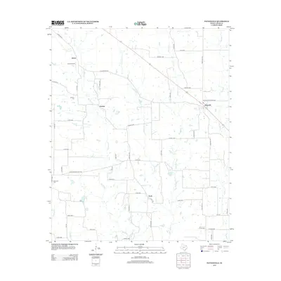
1951 Map of Slate Shoals
USGS Topo · Published 1991About this map
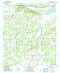
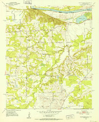
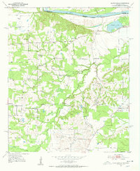
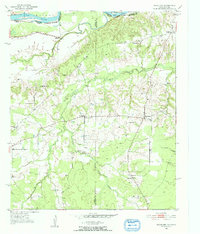
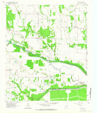
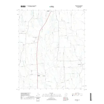
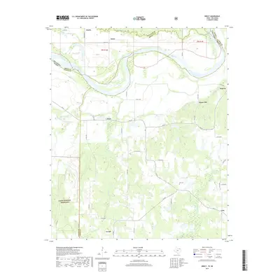
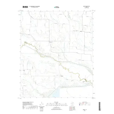
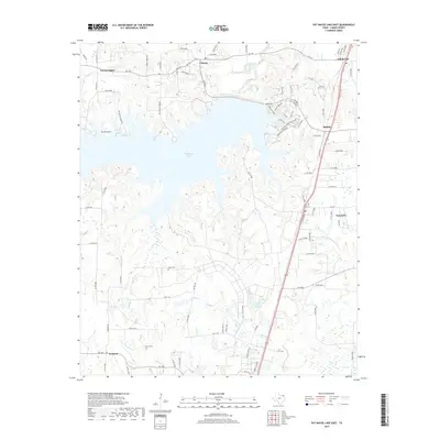
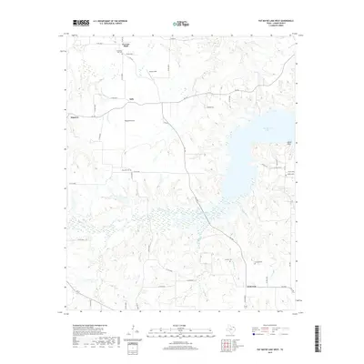
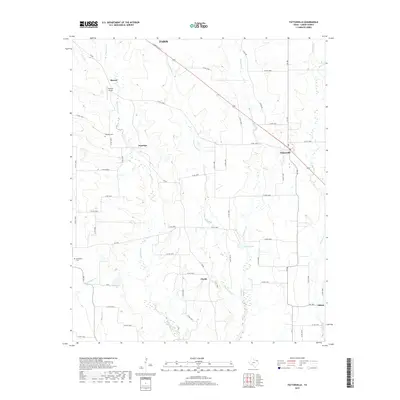
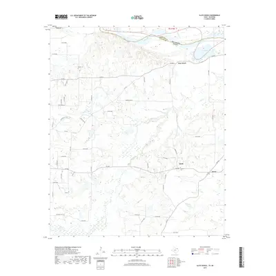
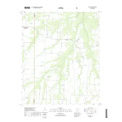
The Red River forms a winding natural border between Texas and Oklahoma in this mid-century survey of the Red River Valley. The landscape is defined by the complex hydrology of Pine Creek, Spring Creek, and Forney Creek as they drain toward the river basin. Settled pockets like Slate Shoals, Medill, and Novice are interconnected by a network of rural roads, often anchored by local spiritual and educational landmarks.
Find a feature on this map
25 named features on this map. Tap any name to fly to it.
Don’t see what you’re looking for? This feature index may not catch every label — zoom into the map to look around manually.
Map Details
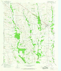
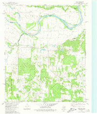
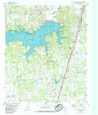
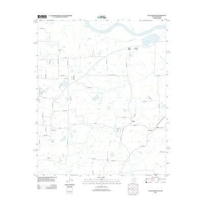
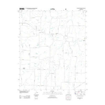
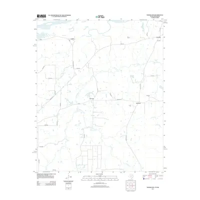
Editions of this 1951 Slate Shoals Map
Historical Maps of Lone Star Through Time
54 maps found
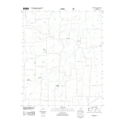
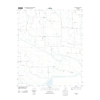
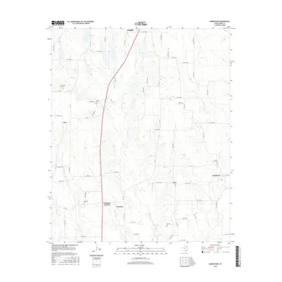
1951 Slate Shoals
Lamar County, TX
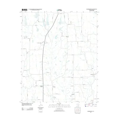
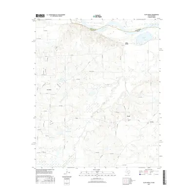
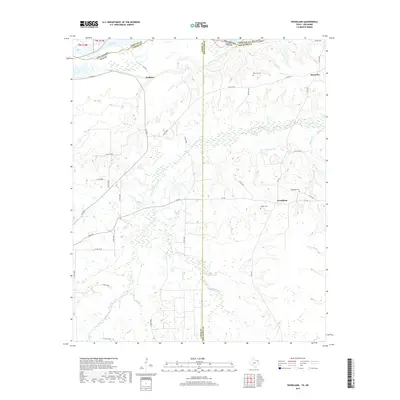
1951 Woodland
Lamar County, TX
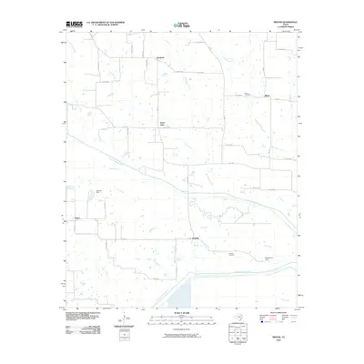
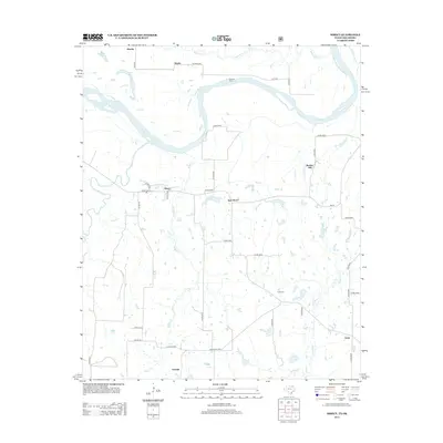
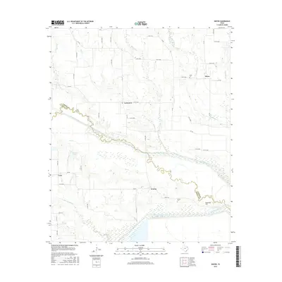
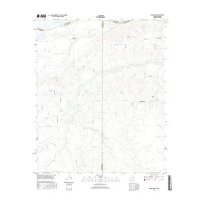
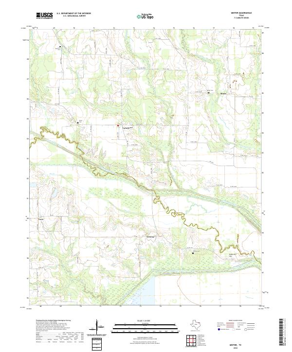
1963 Minter
Lamar County, TX
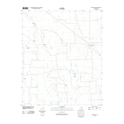
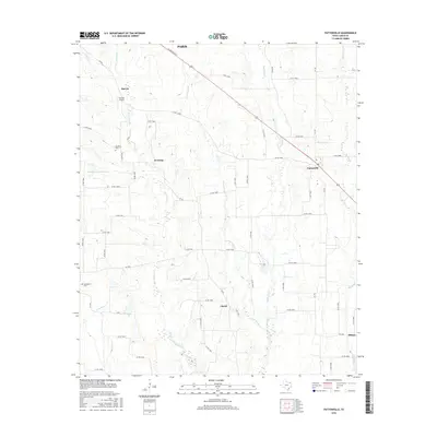
1964 Pattonville
Lamar County, TX
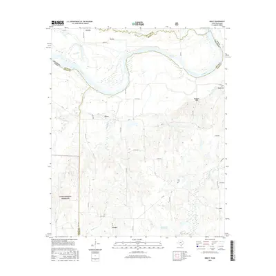
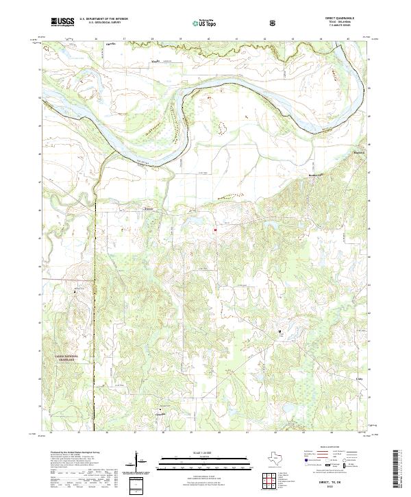
1980 Direct
Lamar County, TX
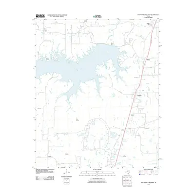
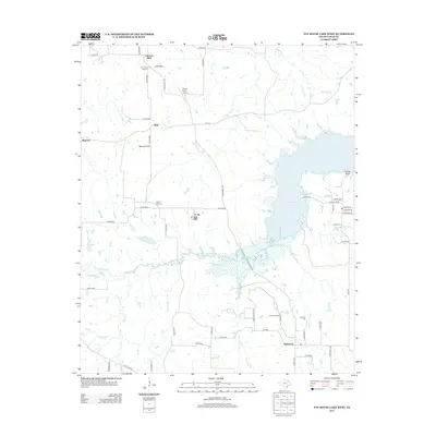
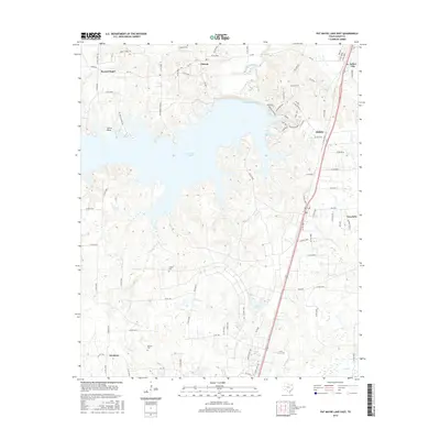
1980 Pat Mayse Lake East
Lamar County, TX
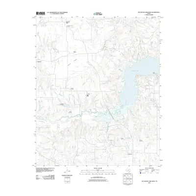
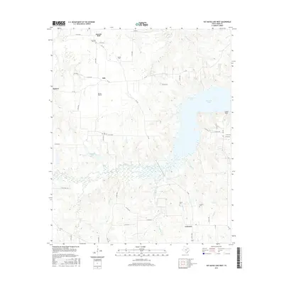
1980 Pat Mayse Lake West
Lamar County, TX
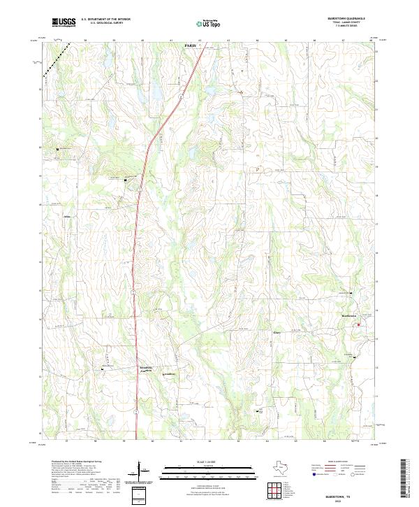
1984 Biardstown
Lamar County, TX
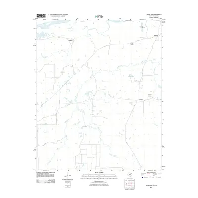
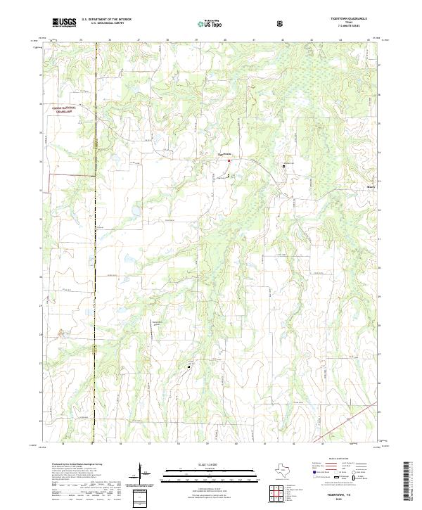
1984 Tigertown
Lamar County, TX
2010 Biardstown
Lamar County, TX
2010 Direct
Lamar County, TX
2010 Minter
Lamar County, TX
2010 Pattonville
Lamar County, TX
2010 Slate Shoals
Lamar County, TX
2010 Tigertown
Lamar County, TX
2011 Pat Mayse Lake East
Lamar County, TX
2011 Pat Mayse Lake West
Lamar County, TX
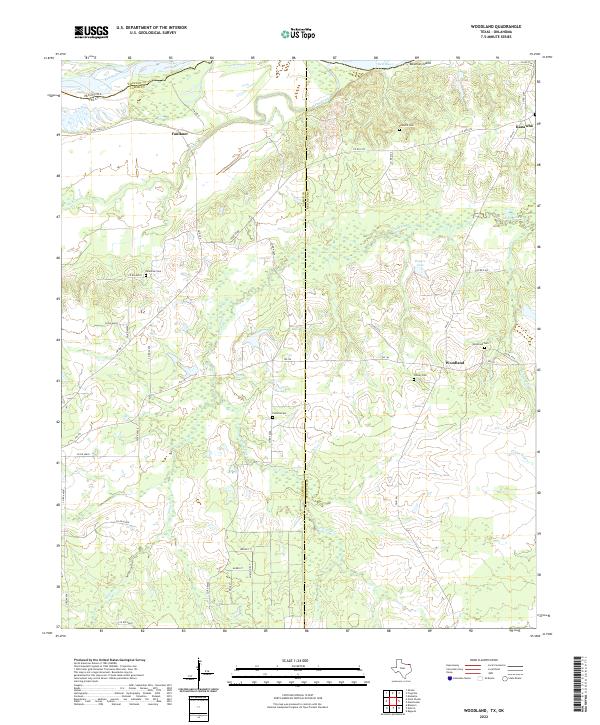
2011 Woodland
Lamar County, TX
2012 Minter
Lamar County, TX
2013 Biardstown
Lamar County, TX
2013 Direct
Lamar County, TX

2013 Pat Mayse Lake East
Lamar County, TX
2013 Pat Mayse Lake West
Lamar County, TX
2013 Pattonville
Lamar County, TX
2013 Slate Shoals
Lamar County, TX
2013 Tigertown
Lamar County, TX
2013 Woodland
Lamar County, TX
2016 Biardstown
Lamar County, TX
2016 Direct
Lamar County, TX
2016 Minter
Lamar County, TX
2016 Pat Mayse Lake East
Lamar County, TX
2016 Pat Mayse Lake West
Lamar County, TX
2016 Pattonville
Lamar County, TX
2016 Slate Shoals
Lamar County, TX

2016 Tigertown
Lamar County, TX
2016 Woodland
Lamar County, TX
2019 Biardstown
Lamar County, TX
2019 Direct
Lamar County, TX
2019 Minter
Lamar County, TX
2019 Pat Mayse Lake East
Lamar County, TX
2019 Pat Mayse Lake West
Lamar County, TX
2019 Pattonville
Lamar County, TX
2019 Slate Shoals
Lamar County, TX
2019 Tigertown
Lamar County, TX
2019 Woodland
Lamar County, TX
2022 Biardstown
Lamar County, TX
2022 Direct
Lamar County, TX
2022 Minter
Lamar County, TX
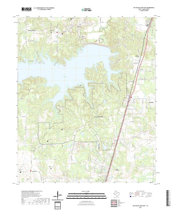
2022 Pat Mayse Lake East
Lamar County, TX
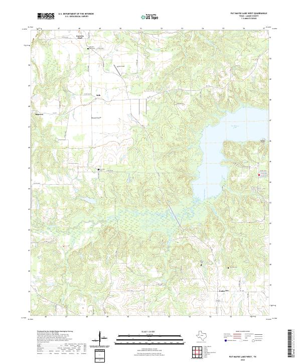
2022 Pat Mayse Lake West
Lamar County, TX
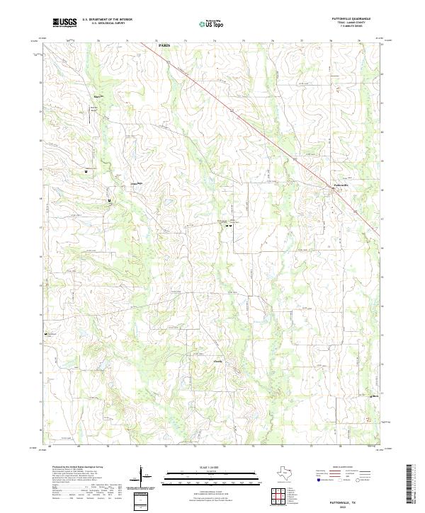
2022 Pattonville
Lamar County, TX
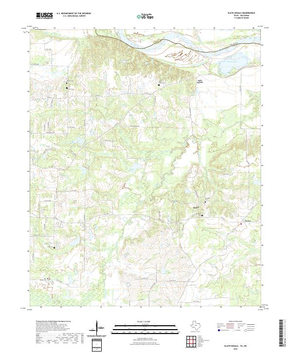
2022 Slate Shoals
Lamar County, TX
2022 Tigertown
Lamar County, TX
2022 Woodland
Lamar County, TX