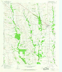
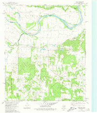
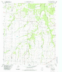
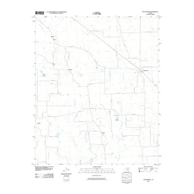
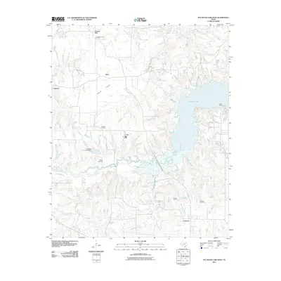
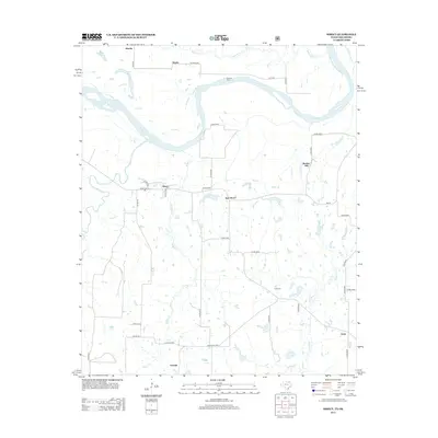
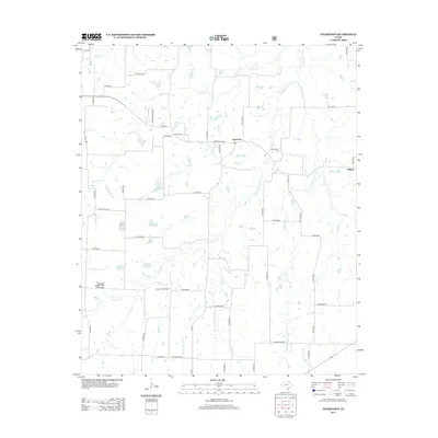
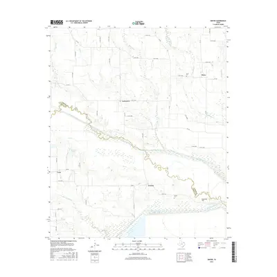
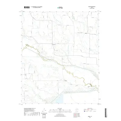
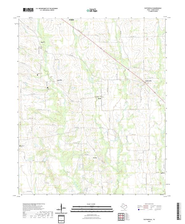
1964 Map of Pattonville
USGS Topo · Published 1967About this map
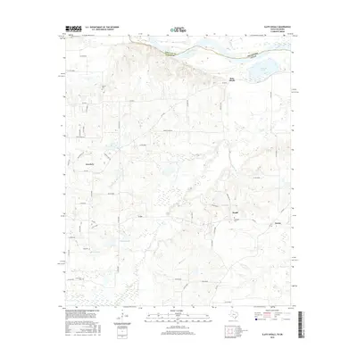
Pattonville sits at the eastern edge of this mid-1960s landscape, where the rural character of Lamar County is defined by a network of creeks and small farming communities. An Old Railroad Grade cuts diagonally through the northern territory, marking the path of a former transit line that once served the agricultural interests of the region. The map reveals a high density of community-centric locations, such as the Plainview Community Hall and East Lamar High School, indicating a period when these local hubs were vital to the social fabric of the area.
Find a feature on this map
23 named features on this map. Tap any name to fly to it.
Don’t see what you’re looking for? This feature index may not catch every label — zoom into the map to look around manually.
Map Details
Editions of this 1964 Pattonville Map
This is the sole edition of this map. No revisions or reprints were ever made.
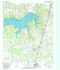
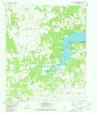
Historical Maps of Paris Through Time
54 maps found
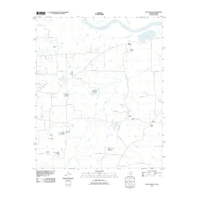
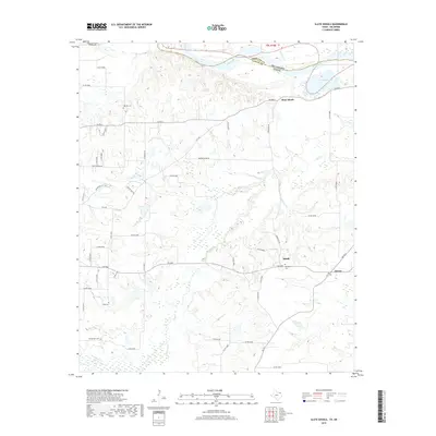
1951 Slate Shoals
Lamar County, TX
1951 Woodland
Lamar County, TX
1963 Minter
Lamar County, TX
1964 Pattonville
Lamar County, TX
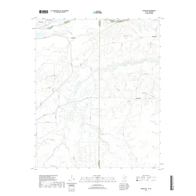
1980 Direct
Lamar County, TX
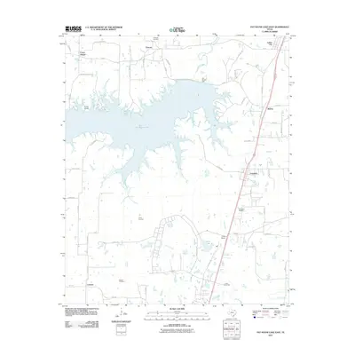
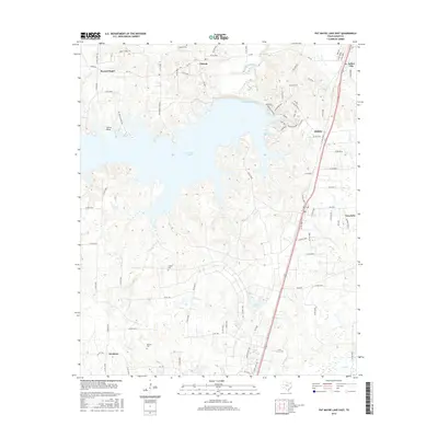
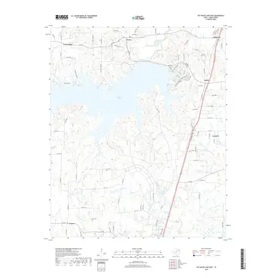
1980 Pat Mayse Lake East
Lamar County, TX
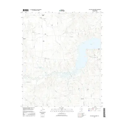
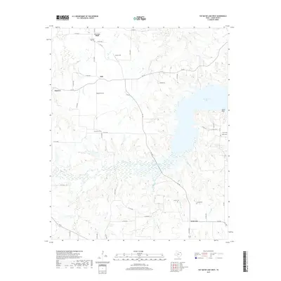
1980 Pat Mayse Lake West
Lamar County, TX
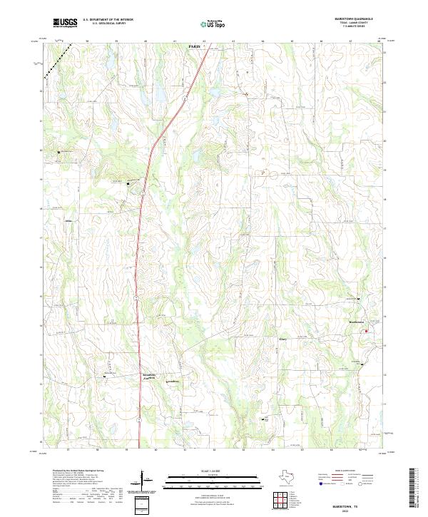
1984 Biardstown
Lamar County, TX
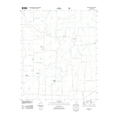
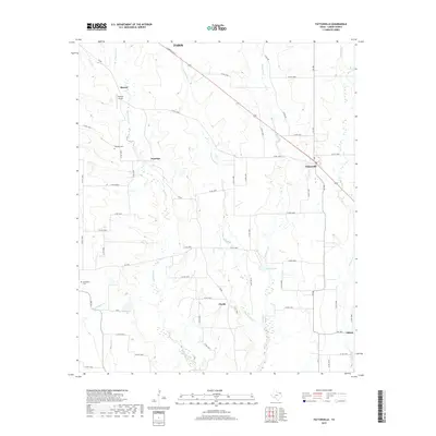
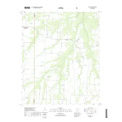
1984 Tigertown
Lamar County, TX
2010 Biardstown
Lamar County, TX
2010 Direct
Lamar County, TX
2010 Minter
Lamar County, TX
2010 Pattonville
Lamar County, TX
2010 Slate Shoals
Lamar County, TX
2010 Tigertown
Lamar County, TX
2011 Pat Mayse Lake East
Lamar County, TX
2011 Pat Mayse Lake West
Lamar County, TX
2011 Woodland
Lamar County, TX
2012 Minter
Lamar County, TX
2013 Biardstown
Lamar County, TX
2013 Direct
Lamar County, TX

2013 Pat Mayse Lake East
Lamar County, TX
2013 Pat Mayse Lake West
Lamar County, TX
2013 Pattonville
Lamar County, TX
2013 Slate Shoals
Lamar County, TX
2013 Tigertown
Lamar County, TX
2013 Woodland
Lamar County, TX
2016 Biardstown
Lamar County, TX
2016 Direct
Lamar County, TX
2016 Minter
Lamar County, TX
2016 Pat Mayse Lake East
Lamar County, TX
2016 Pat Mayse Lake West
Lamar County, TX
2016 Pattonville
Lamar County, TX
2016 Slate Shoals
Lamar County, TX

2016 Tigertown
Lamar County, TX
2016 Woodland
Lamar County, TX
2019 Biardstown
Lamar County, TX
2019 Direct
Lamar County, TX
2019 Minter
Lamar County, TX
2019 Pat Mayse Lake East
Lamar County, TX
2019 Pat Mayse Lake West
Lamar County, TX
2019 Pattonville
Lamar County, TX
2019 Slate Shoals
Lamar County, TX
2019 Tigertown
Lamar County, TX
2019 Woodland
Lamar County, TX
2022 Biardstown
Lamar County, TX
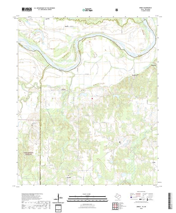
2022 Direct
Lamar County, TX
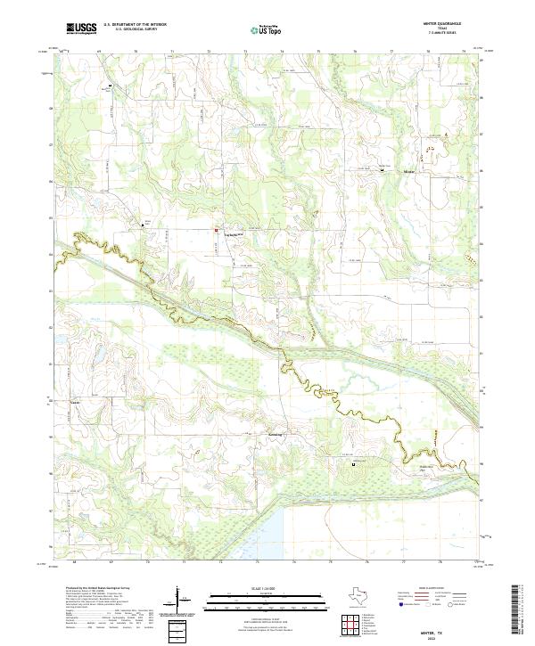
2022 Minter
Lamar County, TX
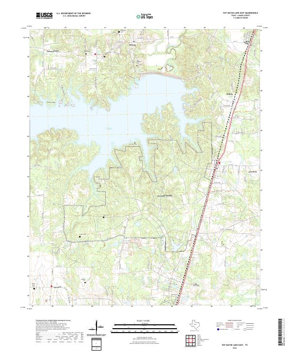
2022 Pat Mayse Lake East
Lamar County, TX
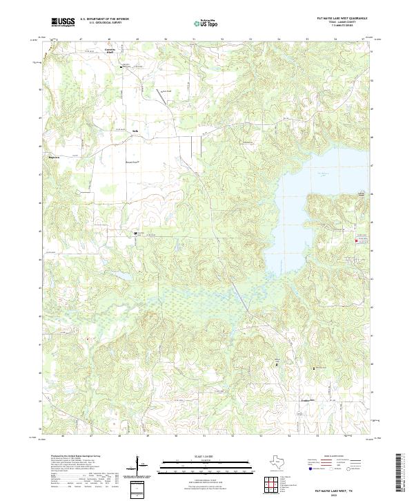
2022 Pat Mayse Lake West
Lamar County, TX
2022 Pattonville
Lamar County, TX
2022 Slate Shoals
Lamar County, TX
2022 Tigertown
Lamar County, TX
2022 Woodland
Lamar County, TX