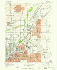
1957 Map of Derby
USGS Topo · Published 1958About this map
The South Platte River and a dense network of railroads shape the industrial and suburban growth northeast of Denver in the late 1950s. This survey documents the transition from established neighborhoods like Welby and Adams City to the rising suburban developments of Thornton and Western Hills. Significant land use is dedicated to the regional economy and national defense, anchored by the sprawling Stapleton Field Municipal Airport and the Rocky Mountain Arsenal boundary. Heavy industry is concentrated along the rail lines, notably at the Denver Union Stockyard and the Denver Coliseum. Local history is preserved in the numerous named schools and religious institutions, such as Annunciation High Sch and Our Lady of Grace Ch, while large green spaces like City Park and the Riverside Cemetery provide a distinct contrast to the surrounding urban grid and manufacturing zones.
Find a feature on this map
78 named features on this map. Tap any name to fly to it.
Don’t see what you’re looking for? This feature index may not catch every label — zoom into the map to look around manually.
Map Details
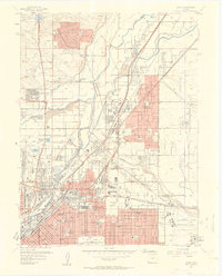
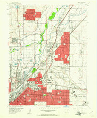
Editions of this 1957 Derby Map
3 editions found
Other maps of this area

1890 · East Denver
USGS Topo · 1:125,000

1899 · West Denver
USGS Topo · 1:125,000

1935 · East Denver Nos. 3 and 4
USGS Topo · 1:48,000

1938 · Derby
USGS Topo · 1:24,000

1938 · Long Branch
USGS Topo · 1:24,000

1940 · Brighton
USGS Topo · 1:31,680

1940 · Englewood
USGS Topo · 1:31,680

1940 · Eastlake
USGS Topo · 1:31,680

1940 · Lafayette
USGS Topo · 1:31,680

1940 · Derby
USGS Topo · 1:31,680