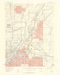
1957 Map of Derby
USGS Topo · Published 1958About this map
Stapleton Field Municipal Airport and the massive Rocky Mountain Arsenal define the eastern landscape of this late 1950s survey, illustrating the significant federal and military footprint on the outskirts of Denver. The area is a dense network of transit and industry, where the South Platte River and Clear Creek are crisscrossed by major rail lines including the Union Pacific and Chicago Rock Island and Pacific.
Find a feature on this map
100 named features on this map. Tap any name to fly to it.
Don’t see what you’re looking for? This feature index may not catch every label — zoom into the map to look around manually.
Map Details
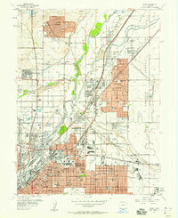
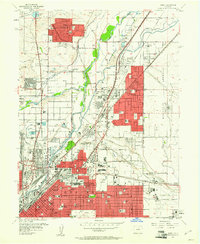
Editions of this 1957 Derby Map
3 editions found
Other maps of this area

1890 · East Denver
USGS Topo · 1:125,000

1899 · West Denver
USGS Topo · 1:125,000

1935 · East Denver Nos. 3 and 4
USGS Topo · 1:48,000

1938 · Derby
USGS Topo · 1:24,000

1938 · Long Branch
USGS Topo · 1:24,000

1940 · Brighton
USGS Topo · 1:31,680

1940 · Englewood
USGS Topo · 1:31,680

1940 · Eastlake
USGS Topo · 1:31,680

1940 · Lafayette
USGS Topo · 1:31,680

1940 · Derby
USGS Topo · 1:31,680