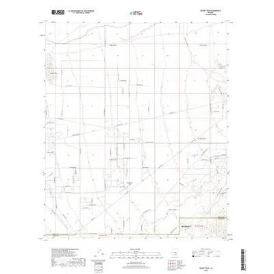
2018 Map of Desert Peak
USGS Topo · Published 2018About this map
Desert Peak and the Owl Head Buttes anchor a desert landscape defined by ephemeral drainage systems and modern infrastructure along the boundary of Pinal and Pima counties. The northern reaches of Marana are visible in the south, while the Twin Hawks Airpark serves as a distinct center of activity amidst a grid of ranch-access roads. The Central Arizona Project Aqueduct cuts across the southwestern corner, marking the significant engineering effort required to bring water through this arid corridor. Local hydrology is characterized by numerous seasonal channels including Suizo Wash, Parker Wash, and Guild Wash, which funnel toward Derrio Canyon. The map details a network of named ranch roads such as S Carpenter Ranch Rd and E Red I Ranch Rd, illustrating the low-density residential and agricultural development patterns common to the region in the late 2010s.
Find a feature on this map
67 named features on this map. Tap any name to fly to it.
Don’t see what you’re looking for? This feature index may not catch every label — zoom into the map to look around manually.
Map Details
Editions of this 2018 Desert Peak Map
This is the sole edition of this map. No revisions or reprints were ever made.
Other maps of this area

1934 · Tucson Mountains
USGS Topo · 1:125,000

1934 · Newman Peak
USGS Topo · 1:125,000

1947 · Cortaro
USGS Topo · 1:62,500

1947 · Red Rock
USGS Topo · 1:62,500

1956 · Tucson
USGS Topo · 1:250,000

1957 · Cortaro
USGS Topo · 1:62,500

1958 · Tucson
USGS Topo · 1:250,000

1959 · Tucson
USGS Topo · 1:250,000

1959 · Tortolita Mts
USGS Topo · 1:62,500
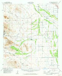
1959 · Silver Bell Peak
USGS Topo · 1:62,500