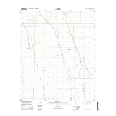
2015 Map of Desert Spring
USGS Topo · Published 2015About this map
Desert Spring provides a critical water source in this arid corner of the Mojave Desert, where the landscape is defined by vast alluvial drainage systems. The map detail highlights the convergence of the Fenner Valley and the sprawling Mojave National Preserve, a region where topography dictates the flow of seasonal water through features like Black Canyon Wash and Woods Wash. These desert washes carve distinct paths through the high desert, illustrating the natural corridors that have historically guided travel and resource location in San Bernardino County. The dominance of federal land management is evident, as the preserve's boundaries encompass much of the rugged terrain and its scattered hydrological landmarks.
Find a feature on this map
12 named features on this map. Tap any name to fly to it.
Don’t see what you’re looking for? This feature index may not catch every label — zoom into the map to look around manually.
Map Details
Editions of this 2015 Desert Spring Map
This is the sole edition of this map. No revisions or reprints were ever made.
Other maps of this area

1910 · Ivanpah
USGS Topo · 1:250,000

1912 · Ivanpah
USGS Topo · 1:250,000

1942 · Ivanpah
USGS Topo · 1:250,000

1942 · Amboy
USGS Topo · 1:250,000

1943 · Amboy
USGS Topo · 1:250,000

1943 · Fenner
USGS Topo · 1:62,500

1947 · Kingman
USGS Topo · 1:250,000

1948 · Kingman
USGS Topo · 1:250,000

1954 · Needles
USGS Topo · 1:250,000

1954 · Kingman
USGS Topo · 1:250,000