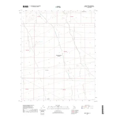
2018 Map of Desert Spring
USGS Topo · Published 2018About this map
Mojave National Preserve encompasses most of this arid landscape, where the ephemeral drainage systems of Black Canyon Wash and Woods Wash define the valley floors. The terrain is dominated by the southeastern slopes of the Woods Mountains, descending into the open expanse of the Mojave Desert. This 2018 survey illustrates a region where water sources are critical landmarks for navigation and survival in the high desert of San Bernardino County. Named points such as Desert Spring and the landmark at Halfway Hill provide essential orientation in a territory largely defined by its topography and the absence of permanent human settlements, reflecting the preservation of this desert wilderness.
Find a feature on this map
14 named features on this map. Tap any name to fly to it.
Don’t see what you’re looking for? This feature index may not catch every label — zoom into the map to look around manually.
Map Details
Editions of this 2018 Desert Spring Map
This is the sole edition of this map. No revisions or reprints were ever made.
Other maps of this area

1910 · Ivanpah
USGS Topo · 1:250,000

1912 · Ivanpah
USGS Topo · 1:250,000

1942 · Ivanpah
USGS Topo · 1:250,000

1942 · Amboy
USGS Topo · 1:250,000

1943 · Amboy
USGS Topo · 1:250,000

1943 · Fenner
USGS Topo · 1:62,500

1947 · Kingman
USGS Topo · 1:250,000

1948 · Kingman
USGS Topo · 1:250,000

1954 · Needles
USGS Topo · 1:250,000

1954 · Kingman
USGS Topo · 1:250,000