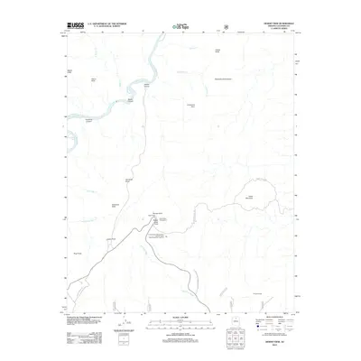
2012 Map of Desert View
USGS Topo · Published 2012About this map
Grand Canyon National Park defines this landscape, where the Colorado River carves through ancient stone beneath the Palisades of the Desert. The map centers on the developed area of Desert View, a key waypoint for visitors that includes the Desert View Campground and high-elevation overlooks like Navajo Point and Lipan Point. The geography is a complex network of side canyons and washes, including Tanner Canyon and Deer Tank Wash, leading down toward the river's edge at Unkar Creek Rapids.
Find a feature on this map
30 named features on this map. Tap any name to fly to it.
Don’t see what you’re looking for? This feature index may not catch every label — zoom into the map to look around manually.
Map Details
Editions of this 2012 Desert View Map
This is the sole edition of this map. No revisions or reprints were ever made.
Other maps of this area

1886 · San Francisco Mtns
USGS Topo · 1:250,000

1886 · Echo Cliffs
USGS Topo · 1:250,000

1891 · San Francisco Mtns
USGS Topo · 1:250,000

1891 · Echo Cliffs
USGS Topo · 1:250,000

1894 · San Francisco Mtns
USGS Topo · 1:250,000

1899 · San Francisco Mtns
USGS Topo · 1:250,000

1907 · Vishnu
USGS Topo · 1:48,000

1947 · Flagstaff
USGS Topo · 1:250,000

1954 · Flagstaff
USGS Topo · 1:250,000

1955 · Blue Spring
USGS Topo · 1:62,500