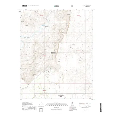
2018 Map of Desert View
USGS Topo · Published 2018About this map
Grand Canyon National Park defines the northern reaches of this landscape, where the Colorado River cuts through profound geological formations. The settlement at Desert View serves as a critical observation point, anchored by the iconic Desert View Point which overlooks the river's dramatic bend. High-elevation overlooks like Lipan Point, Navajo Point, and Comanche Point provide expansive vistas of the Palisades of the Desert and the deep incisions of Tanner Canyon. Historic routes and modern access ways, including the Beamer and Tanner trails, trace the descent from the South Rim toward the water, while E Rim DR provides the primary vehicular connection through the park and toward the Kaibab National Forest to the south. The terrain is marked by distinct landmarks such as Espejo Butte and Cape Solitude, illustrating the complex network of side canyons and plateaus that characterize this section of the canyon.
Find a feature on this map
42 named features on this map. Tap any name to fly to it.
Don’t see what you’re looking for? This feature index may not catch every label — zoom into the map to look around manually.
Map Details
Editions of this 2018 Desert View Map
This is the sole edition of this map. No revisions or reprints were ever made.
Other maps of this area

1886 · San Francisco Mtns
USGS Topo · 1:250,000

1886 · Echo Cliffs
USGS Topo · 1:250,000

1891 · San Francisco Mtns
USGS Topo · 1:250,000

1891 · Echo Cliffs
USGS Topo · 1:250,000

1894 · San Francisco Mtns
USGS Topo · 1:250,000

1899 · San Francisco Mtns
USGS Topo · 1:250,000

1907 · Vishnu
USGS Topo · 1:48,000

1947 · Flagstaff
USGS Topo · 1:250,000

1954 · Flagstaff
USGS Topo · 1:250,000

1955 · Blue Spring
USGS Topo · 1:62,500