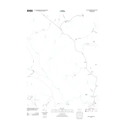
2013 Map of Devils Elbow
USGS Topo · Published 2013About this map
Quehanna Hwy traverses this high plateau landscape of north-central Pennsylvania, connecting the isolated settlements and seasonal outposts of Karthaus Township. The terrain is defined by deeply incised drainages like Twelvemile Run and Mosquito Cr, which carve through the tableland toward the West Branch Susquehanna valley. Local history is etched into the landscape through named camps and small clusters of activity, including Lime Spring Camp, Pine Spring Camp, and Gum Spring Camp. The settlement at Piper sits centrally, while Dutch Hollow marks a point of interest to the southeast near Arnold Mountain. The winding roads, from the established Caledonia Pike to forest tracks like Three Runs Tower Rd, reveal a region utilized for timber, recreation, and remote habitation, centered around the distinctive topographical feature known as Devils Elbow.
Find a feature on this map
61 named features on this map. Tap any name to fly to it.
Don’t see what you’re looking for? This feature index may not catch every label — zoom into the map to look around manually.
Map Details
Editions of this 2013 Devils Elbow Map
This is the sole edition of this map. No revisions or reprints were ever made.
Other maps of this area

1929 · Karthaus
USGS Topo · 1:62,500

1929 · Clearfield
USGS Topo · 1:48,000

1932 · Clearfield
USGS Topo · 1:62,500

1932 · Karthaus
USGS Topo · 1:62,500

1941 · Benezette
USGS Topo · 1:62,500

1943 · Benezette
USGS Topo · 1:62,500

1945 · Driftwood
USGS Topo · 1:48,000

1945 · Sinnemahoning
USGS Topo · 1:24,000

1945 · Driftwood
USGS Topo · 1:24,000

1947 · Sinnemahoning
USGS Topo · 1:24,000
Featured Places
- Karthaus Township, PA
- Benezette Township, PA
- Piper, Karthaus Township
- Gibson Township, PA
- Girard Township, PA