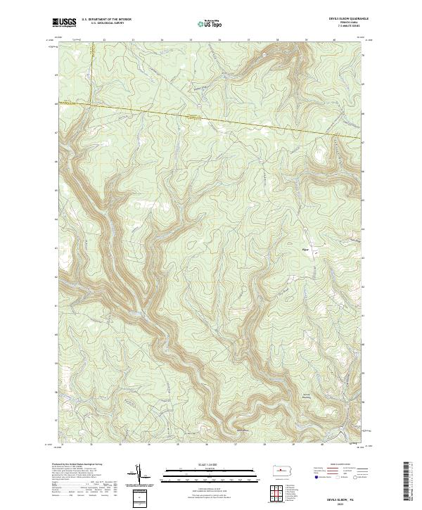
2023 Map of Devils Elbow
USGS Topo · Published 2023About this map
Mosquito Creek carves a deep, sinuous path through this heavily dissected plateau where the borders of Elk, Cameron, and Clearfield counties converge. The landscape is defined by its complex drainage network, including major branches like Gifford Run, Twelvemile Run, and Panther Run that feed into the larger creek system. Human presence is concentrated along the high ridges and the few valley floor access points, most notably at Piper and along the historic Caledonia Pike.
Find a feature on this map
55 named features on this map. Tap any name to fly to it.
Don’t see what you’re looking for? This feature index may not catch every label — zoom into the map to look around manually.
Map Details
Editions of this 2023 Devils Elbow Map
This is the sole edition of this map. No revisions or reprints were ever made.
Other maps of this area

1929 · Karthaus
USGS Topo · 1:62,500

1929 · Clearfield
USGS Topo · 1:48,000

1932 · Clearfield
USGS Topo · 1:62,500

1932 · Karthaus
USGS Topo · 1:62,500

1941 · Benezette
USGS Topo · 1:62,500

1943 · Benezette
USGS Topo · 1:62,500

1945 · Driftwood
USGS Topo · 1:48,000

1945 · Sinnemahoning
USGS Topo · 1:24,000

1945 · Driftwood
USGS Topo · 1:24,000

1947 · Sinnemahoning
USGS Topo · 1:24,000
Featured Places
- Karthaus Township, PA
- Benezette Township, PA
- Gibson Township, PA
- Covington Township, PA
- Girard Township, PA