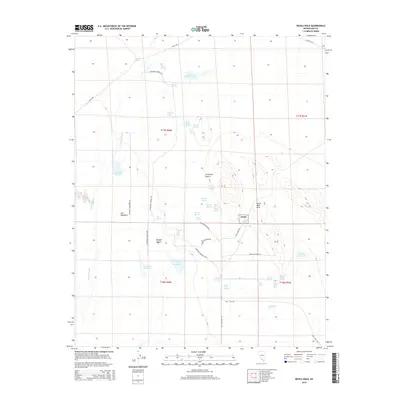
2015 Map of Devils Hole
USGS Topo · Published 2015About this map
Ash Meadows and the surrounding desert landscape define this 2015 survey of the Nevada and California borderlands. This hydrologically unique region is anchored by the protected waters of Devils Hole, a detached unit of Death Valley National Park (Dvnp) known for its subterranean cavern system. The map reveals an intricate network of desert water sources, from the isolated Crystal Pool to the cluster of School Spring, Mexican Spring, and Indian Spring along the foothills of the Devils Hole Hills.
Find a feature on this map
52 named features on this map. Tap any name to fly to it.
Don’t see what you’re looking for? This feature index may not catch every label — zoom into the map to look around manually.
Map Details
Editions of this 2015 Devils Hole Map
This is the sole edition of this map. No revisions or reprints were ever made.
Other maps of this area

1908 · Furnace Creek
USGS Topo · 1:250,000

1910 · Furnace Creek
USGS Topo · 1:250,000

1942 · Skull Mountain
USGS Topo · 1:125,000

1948 · Death Valley
USGS Topo · 1:250,000

1952 · Ash Meadows
USGS Topo · 1:62,500

1952 · Specter Range
USGS Topo · 1:62,500

1954 · Death Valley
USGS Topo · 1:250,000

1956 · Death Valley
USGS Topo · 1:250,000

1957 · Death Valley
USGS Topo · 1:250,000

1958 · Death Valley
USGS Topo · 1:250,000