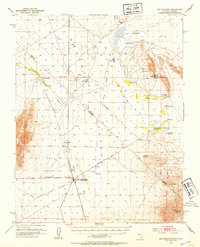
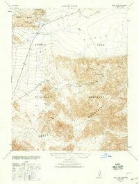
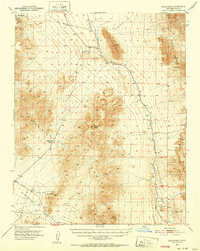
1952 Map of Ash Meadows
USGS Topo · Published 1953About this map
The Amargosa Desert straddles the Nevada California border in this mid-century survey, revealing a landscape defined by isolated springs and defunct rail lines. The hub of activity centers on Death Valley Junction, where the Death Valley Railroad and the Tonopah and Tidewater Railroad once converged. By the time of this mapping, these lines were dismantled, leaving only the graded paths through the desert floor.
Find a feature on this map
44 named features on this map. Tap any name to fly to it.
Don’t see what you’re looking for? This feature index may not catch every label — zoom into the map to look around manually.
Map Details
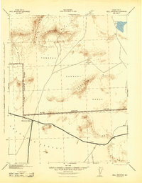
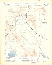
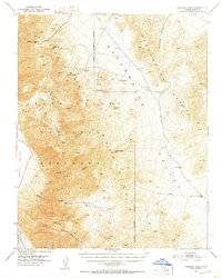
Editions of this 1952 Ash Meadows Map
4 editions found
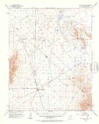
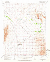
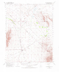
Other maps of this area

1908 · Furnace Creek
USGS Topo · 1:250,000

1910 · Furnace Creek
USGS Topo · 1:250,000
1940 · Eagle Tank
USGS Topo · 1:62,500
1942 · Skull Mountain
USGS Topo · 1:125,000
1942 · Bullfrog
USGS Topo · 1:125,000

1948 · Death Valley
USGS Topo · 1:250,000
1951 · Funeral Peak
USGS Topo · 1:62,500
1951 · Eagle Mtn
USGS Topo · 1:62,500
1952 · Ryan
USGS Topo · 1:62,500
1952 · Big Dune
USGS Topo · 1:62,500