
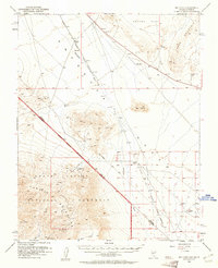
1952 Map of Big Dune
USGS Topo · Published 1953About this map
The Amargosa Desert landscape of the early 1950s is defined by the remnants of earlier settlement and the dry path of the Amargosa River. This survey captures a moment when the regional infrastructure was in transition, most notably marked by the Tonopah and Tidewater Railroad, which is shown here as a dismantled line running north toward Tonopah. Several former hubs are reduced to locations of historical interest, including Ashton, Lees Camp, and Leeland.
Find a feature on this map
27 named features on this map. Tap any name to fly to it.
Don’t see what you’re looking for? This feature index may not catch every label — zoom into the map to look around manually.
Map Details
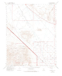
Editions of this 1952 Big Dune Map
3 editions found
Other maps of this area

1908 · Furnace Creek
USGS Topo · 1:250,000

1910 · Furnace Creek
USGS Topo · 1:250,000

1942 · Skull Mountain
USGS Topo · 1:125,000

1942 · Bullfrog
USGS Topo · 1:125,000

1948 · Death Valley
USGS Topo · 1:250,000

1952 · Chloride Cliff
USGS Topo · 1:50,000

1952 · Topopah Spring
USGS Topo · 1:62,500

1952 · Ash Meadows
USGS Topo · 1:62,500

1952 · Furnace Creek
USGS Topo · 1:62,500

1952 · Ryan
USGS Topo · 1:62,500