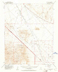
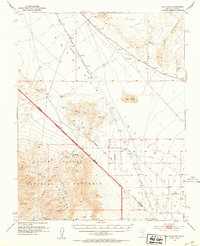
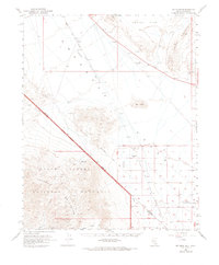
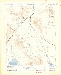
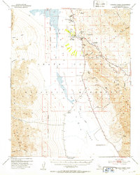
1952 Map of Big Dune
USGS Topo · Published 1961About this map
The Amargosa Desert and the eastern edge of Death Valley National Monument dominate this early 1950s survey of the Nevada-California borderlands. This arid landscape is defined by the ephemeral Amargosa River and the stark topography of the Funeral Mountains, including Echo Mtn. The map documents a fading industrial and transport infrastructure, notably the Tidewater and Tonopah Railroad, which appears here as a dismantled line running near the historic Von Schmidt Line. Settlers and prospectors left their mark at locations like Ashton, Lees Camp, and Leeland, all noted as sites by the time of this mapping. Arid-land water sources, critical for survival in the region, are carefully recorded, including Roses Well and various other dry wells and prospects scattered across Crater Flat and near the prominent Big Dune.
Find a feature on this map
27 named features on this map. Tap any name to fly to it.
Don’t see what you’re looking for? This feature index may not catch every label — zoom into the map to look around manually.
Map Details
Editions of this 1952 Big Dune Map
3 editions found
Other maps of this area

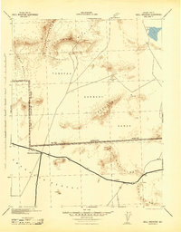
1908 · Furnace Creek
USGS Topo · 1:250,000

1910 · Furnace Creek
USGS Topo · 1:250,000
1942 · Skull Mountain
USGS Topo · 1:125,000
1942 · Bullfrog
USGS Topo · 1:125,000

1948 · Death Valley
USGS Topo · 1:250,000
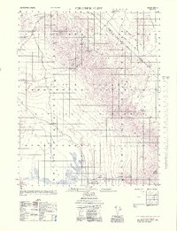
1952 · Chloride Cliff
USGS Topo · 1:50,000
1952 · Topopah Spring
USGS Topo · 1:62,500
1952 · Ash Meadows
USGS Topo · 1:62,500
1952 · Furnace Creek
USGS Topo · 1:62,500
1952 · Ryan
USGS Topo · 1:62,500