
1952 Map of Topopah Spring
USGS Topo · Published 1952About this map
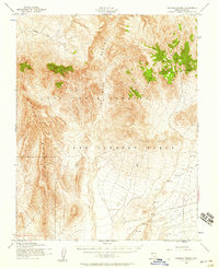
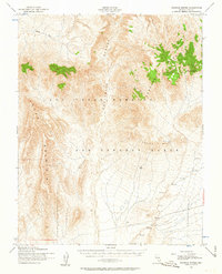
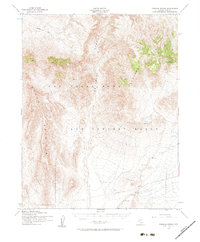
The Las Vegas Bombing and Gunnery Range dominates the interior of this 1952 topographic study, reflecting the intense military and scientific utility of the Nye County desert during the early Cold War. This landscape of high desert basins and volcanic ridges is anchored by Yucca Mountain to the west and the heights of Shoshone Mountain to the east. Between these ranges lie the broad drainage of Fortymile Canyon and the expansive Jackass Flats.
Find a feature on this map
19 named features on this map. Tap any name to fly to it.
Don’t see what you’re looking for? This feature index may not catch every label — zoom into the map to look around manually.
Map Details
Editions of this 1952 Topopah Spring Map
4 editions found
Other maps of this area

1908 · Kawich
USGS Topo · 1:250,000

1908 · Furnace Creek
USGS Topo · 1:250,000

1910 · Furnace Creek
USGS Topo · 1:250,000

1942 · Tolicha Peak
USGS Topo · 1:125,000

1942 · Wheelbarrow Peak
USGS Topo · 1:125,000

1942 · Skull Mountain
USGS Topo · 1:125,000

1942 · Bullfrog
USGS Topo · 1:125,000

1948 · Death Valley
USGS Topo · 1:250,000

1952 · Big Dune
USGS Topo · 1:62,500

1952 · Tippipah Spring
USGS Topo · 1:62,500