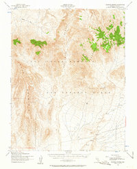
1952 Map of Topopah Spring
USGS Topo · Published 1963About this map
The Las Vegas Bombing and Gunnery Range dominates this mid-century landscape in Nye County, showing the intersection of military operations and Great Basin geography. Based on 1952 aerial photography, the map details the stark terrain of Yucca Mountain and the Calico Hills, highlighting the natural drainage systems of Fortymile Canyon and Beatty Wash. The survey is particularly valuable for documenting the area before significant modern development, capturing the isolation of Shoshone Mountain and the wide expanses of Jackass Flats. Water remains the most critical resource in this arid environment, marked by the namesake Topopah Spring tucked into the mountain slopes. This 1952 edition reflects the post-war era of federal land management and strategic military expansion across the Nevada desert.
Find a feature on this map
8 named features on this map. Tap any name to fly to it.
Don’t see what you’re looking for? This feature index may not catch every label — zoom into the map to look around manually.
Map Details
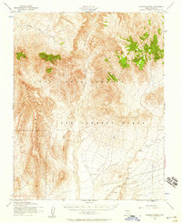
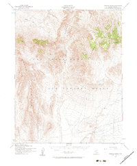
Editions of this 1952 Topopah Spring Map
4 editions found
Other maps of this area

1908 · Kawich
USGS Topo · 1:250,000

1908 · Furnace Creek
USGS Topo · 1:250,000

1910 · Furnace Creek
USGS Topo · 1:250,000

1942 · Tolicha Peak
USGS Topo · 1:125,000

1942 · Wheelbarrow Peak
USGS Topo · 1:125,000

1942 · Skull Mountain
USGS Topo · 1:125,000

1942 · Bullfrog
USGS Topo · 1:125,000

1948 · Death Valley
USGS Topo · 1:250,000

1952 · Topopah Spring
USGS Topo · 1:62,500

1952 · Big Dune
USGS Topo · 1:62,500