
1951 Map of Eagle Mtn
USGS Topo · Published 1952About this map
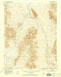
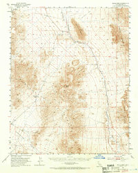
The Amargosa River cuts a distinctive course through this arid landscape, flanked by the Greenwater Range and the Resting Spring Range. At the time of this mid-century survey, the industrial imprint of earlier mining eras is evident in the Dismantled Railroad and the Old Traction Road that snake through the valley. The map documents the Lila C Mine (Site) near the northwestern edge, a location central to the region's borax history. Small outposts like Evelyn sit along the former rail corridor, while vital water sources such as Miller Spring are noted against the backdrop of Brown Peak and Eagle Mtn. The topography reveals the complex drainage patterns of the Greenwater Valley as it descends toward the Alkali Flat, illustrating the remote and difficult terrain encountered by prospectors and teamsters in the California desert.
Find a feature on this map
14 named features on this map. Tap any name to fly to it.
Don’t see what you’re looking for? This feature index may not catch every label — zoom into the map to look around manually.
Map Details
Editions of this 1951 Eagle Mtn Map
3 editions found
Other maps of this area

1908 · Furnace Creek
USGS Topo · 1:250,000

1910 · Furnace Creek
USGS Topo · 1:250,000

1933 · Avawatz Mountains
USGS Topo · 1:250,000

1940 · Eagle Tank
USGS Topo · 1:62,500

1947 · Trona
USGS Topo · 1:250,000

1948 · Trona
USGS Topo · 1:250,000

1948 · Death Valley
USGS Topo · 1:250,000

1950 · Confidence Hills
USGS Topo · 1:62,500

1950 · Tecopa
USGS Topo · 1:62,500

1951 · Tecopa
USGS Topo · 1:62,500