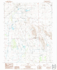
1987 Map of Devils Hole
USGS Topo · Published 1987About this map
Ash Meadows National Wildlife Refuge dominates this desert landscape, where water sources emerge from the arid floor of the Amargosa Desert. This 1980s-era documentation captures a complex hydrologic system defined by numerous named desert springs, including Fairbanks Spring, Rogers Spring, and Longstreet Spring. The area serves as a critical boundary zone where the Death Valley National Monument meets the refuge, anchored by the unique limestone cavern and aquatic habitat of Devils Hole.
Find a feature on this map
24 named features on this map. Tap any name to fly to it.
Don’t see what you’re looking for? This feature index may not catch every label — zoom into the map to look around manually.
Map Details
Editions of this 1987 Devils Hole Map
This is the sole edition of this map. No revisions or reprints were ever made.
Other maps of this area

1908 · Furnace Creek
USGS Topo · 1:250,000

1910 · Furnace Creek
USGS Topo · 1:250,000

1942 · Skull Mountain
USGS Topo · 1:125,000

1948 · Death Valley
USGS Topo · 1:250,000

1952 · Ash Meadows
USGS Topo · 1:62,500

1952 · Specter Range
USGS Topo · 1:62,500

1954 · Death Valley
USGS Topo · 1:250,000

1956 · Death Valley
USGS Topo · 1:250,000

1957 · Death Valley
USGS Topo · 1:250,000

1958 · Death Valley
USGS Topo · 1:250,000