
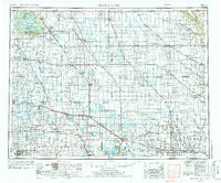
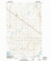
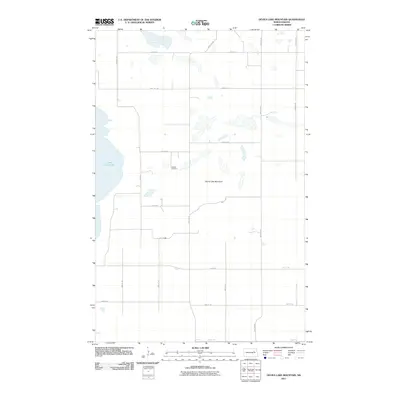
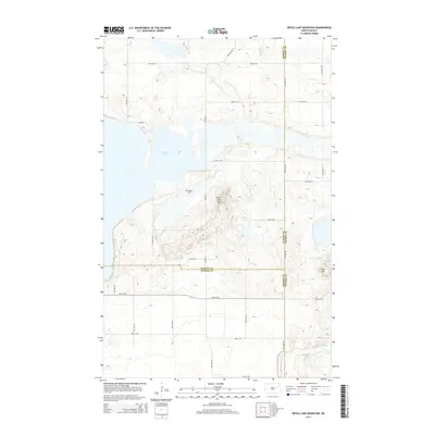
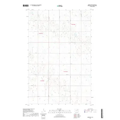
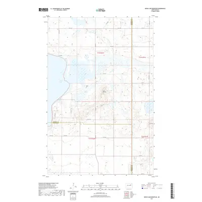
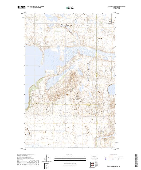
1951 Map of Devils Lake Mountain
USGS Topo · Published 1951About this map
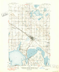
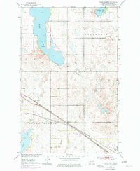
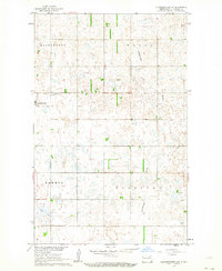
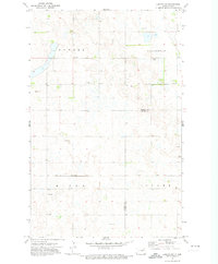
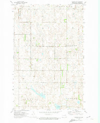
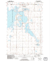
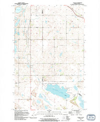
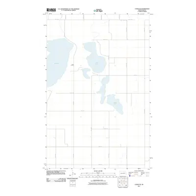
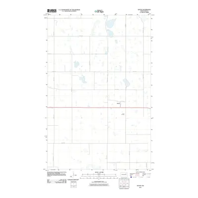
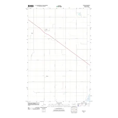
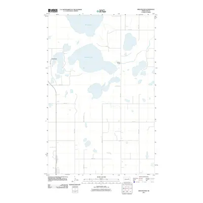
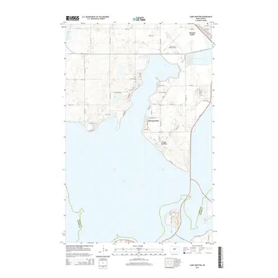
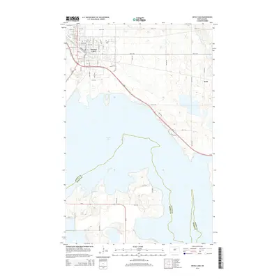
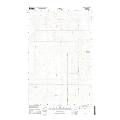
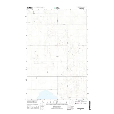
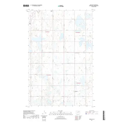
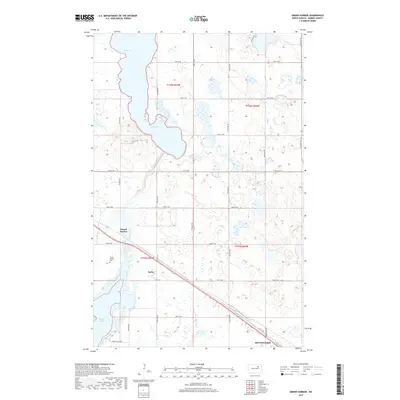
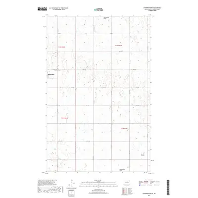
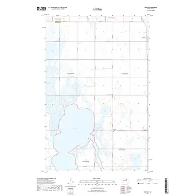
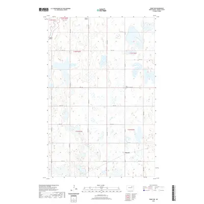
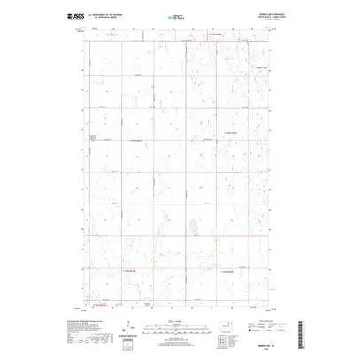
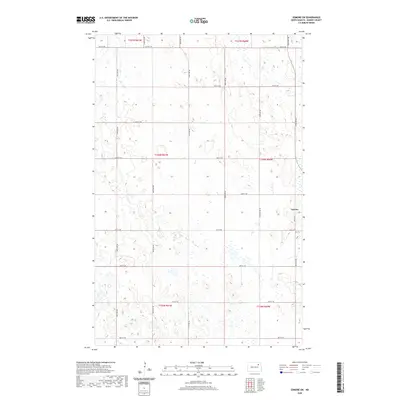
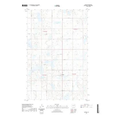
Devils Mountain rises above the glacial plains of North Dakota in this 1951 survey, marking a distinct elevation change east of the shoreline of East Devils Lake. The landscape is defined by its agrarian section lines and the meeting of multiple jurisdictions, including Ramsey, Nelson, and Benson counties. A significant historical marker is the Old Indian Reservation Boundary, which cuts diagonally across the township lines of Minco and Odessa. Settlement is sparse and rural, centered on community foundations like School No 1, School No 2, and the Odessa Cem. Smaller water bodies like Blue Lake dot the eastern edge of the quadrangle, illustrating the kettle-and-moraine topography characteristic of the region. This survey, compiled from 1949 aerial photographs, provides a clear view of the mid-century road network and township divisions of Illinois and Levant.
Find a feature on this map
15 named features on this map. Tap any name to fly to it.
Don’t see what you’re looking for? This feature index may not catch every label — zoom into the map to look around manually.
Map Details
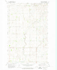
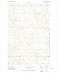
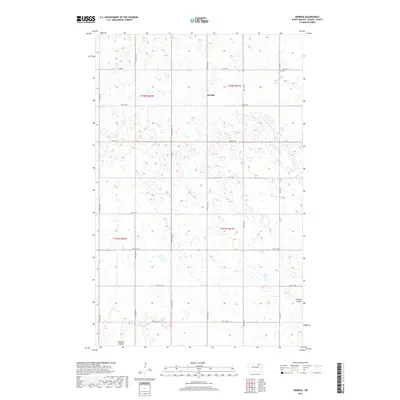
Editions of this 1951 Devils Lake Mountain Map
This is the sole edition of this map. No revisions or reprints were ever made.
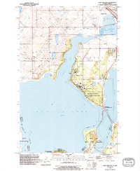
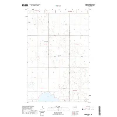
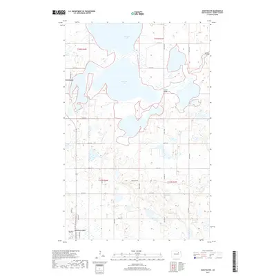
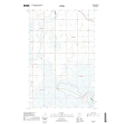
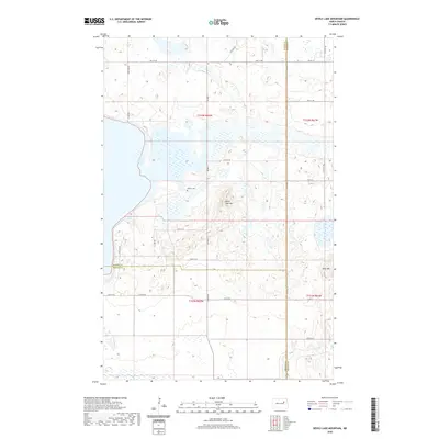
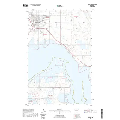
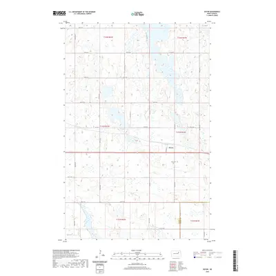
Historical Maps of Wood Lake District Through Time
144 maps found
1931 Devils Lake
Ramsey County, ND

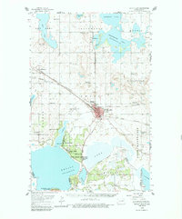
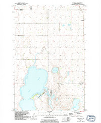
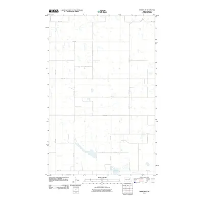
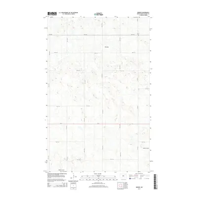
1950 Devils Lake Mountain
Ramsey County, ND
1950 Devils Lake
Ramsey County, ND
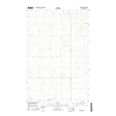
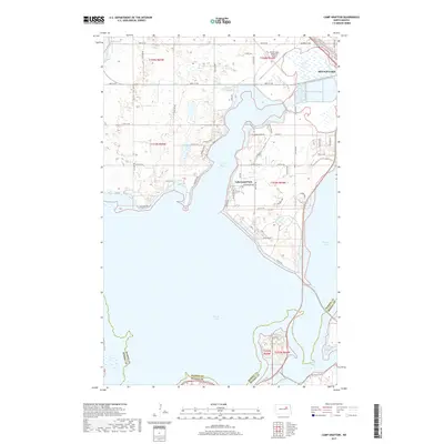
1951 Camp Grafton
Ramsey County, ND
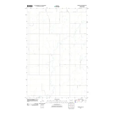
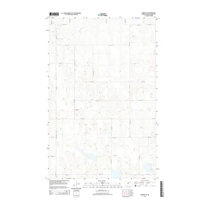
1951 Devils Lake Mountain
Ramsey County, ND
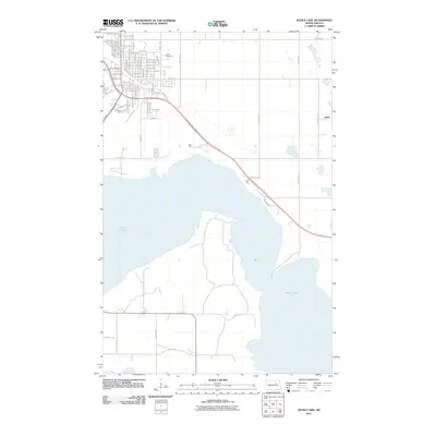
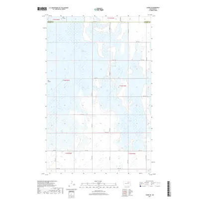
1951 Devils Lake
Ramsey County, ND
1951 Grand Harbor
Ramsey County, ND
1951 Penn
Ramsey County, ND
1951 Sweetwater
Ramsey County, ND
1951 Tilden
Ramsey County, ND
1953 Devils Lake
Ramsey County, ND

1956 Devils Lake
Ramsey County, ND
1957 Cando SE
Ramsey County, ND
1957 Starkweather SE
Ramsey County, ND
1957 Webster
Ramsey County, ND
1962 Starkweather NE
Ramsey County, ND
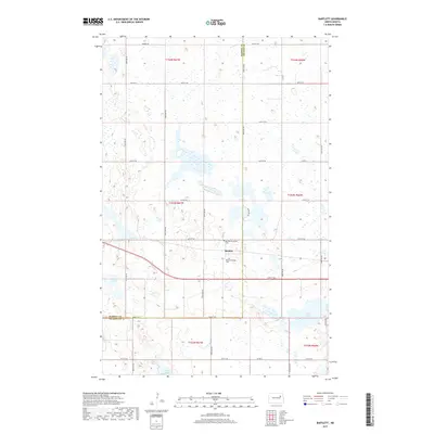
1970 Bartlett
Ramsey County, ND
1971 Crary NW
Ramsey County, ND
1971 Doyon
Ramsey County, ND
1971 Lakota NW
Ramsey County, ND
1971 Southam
Ramsey County, ND
1972 Derrick NW
Ramsey County, ND
1972 Derrick
Ramsey County, ND
1972 Derrick SE
Ramsey County, ND
1972 Derrick SW
Ramsey County, ND
1972 Edmore SW
Ramsey County, ND

1985 Devils Lake
Ramsey County, ND

1993 Devils Lake
Ramsey County, ND
1994 Camp Grafton
Ramsey County, ND
1994 Cando SE
Ramsey County, ND
1994 Derrick NW
Ramsey County, ND
1994 Devils Lake
Ramsey County, ND
1994 Grand Harbor
Ramsey County, ND
1994 Penn
Ramsey County, ND
1994 Starkweather NE
Ramsey County, ND
1994 Starkweather SE
Ramsey County, ND
1994 Sweetwater
Ramsey County, ND
1994 Tilden
Ramsey County, ND
1994 Webster
Ramsey County, ND
2011 Bartlett
Ramsey County, ND
2011 Camp Grafton
Ramsey County, ND
2011 Cando SE
Ramsey County, ND
2011 Crary NW
Ramsey County, ND
2011 Derrick NW
Ramsey County, ND
2011 Derrick
Ramsey County, ND
2011 Derrick SE
Ramsey County, ND
2011 Derrick SW
Ramsey County, ND
2011 Devils Lake Mountain
Ramsey County, ND
2011 Devils Lake
Ramsey County, ND
2011 Doyon
Ramsey County, ND
2011 Edmore SW
Ramsey County, ND
2011 Grand Harbor
Ramsey County, ND
2011 Lakota NW
Ramsey County, ND
2011 Penn
Ramsey County, ND
2011 Southam
Ramsey County, ND
2011 Starkweather NE
Ramsey County, ND
2011 Starkweather SE
Ramsey County, ND
2011 Sweetwater
Ramsey County, ND
2011 Tilden
Ramsey County, ND
2011 Webster
Ramsey County, ND
2014 Bartlett
Ramsey County, ND
2014 Camp Grafton
Ramsey County, ND
2014 Cando SE
Ramsey County, ND
2014 Crary NW
Ramsey County, ND
2014 Derrick NW
Ramsey County, ND
2014 Derrick
Ramsey County, ND
2014 Derrick SE
Ramsey County, ND
2014 Derrick SW
Ramsey County, ND
2014 Devils Lake Mountain
Ramsey County, ND
2014 Devils Lake
Ramsey County, ND
2014 Doyon
Ramsey County, ND
2014 Edmore SW
Ramsey County, ND
2014 Grand Harbor
Ramsey County, ND
2014 Lakota NW
Ramsey County, ND
2014 Penn
Ramsey County, ND
2014 Southam
Ramsey County, ND
2014 Starkweather NE
Ramsey County, ND
2014 Starkweather SE
Ramsey County, ND
2014 Sweetwater
Ramsey County, ND
2014 Tilden
Ramsey County, ND
2014 Webster
Ramsey County, ND
2017 Bartlett
Ramsey County, ND
2017 Camp Grafton
Ramsey County, ND
2017 Cando SE
Ramsey County, ND
2017 Crary NW
Ramsey County, ND
2017 Derrick NW
Ramsey County, ND
2017 Derrick
Ramsey County, ND
2017 Derrick SE
Ramsey County, ND
2017 Derrick SW
Ramsey County, ND
2017 Devils Lake Mountain
Ramsey County, ND
2017 Devils Lake
Ramsey County, ND
2017 Doyon
Ramsey County, ND
2017 Edmore SW
Ramsey County, ND
2017 Grand Harbor
Ramsey County, ND
2017 Lakota NW
Ramsey County, ND
2017 Penn
Ramsey County, ND
2017 Southam
Ramsey County, ND
2017 Starkweather NE
Ramsey County, ND
2017 Starkweather SE
Ramsey County, ND
2017 Sweetwater
Ramsey County, ND
2017 Tilden
Ramsey County, ND
2017 Webster
Ramsey County, ND
2020 Bartlett
Ramsey County, ND
2020 Camp Grafton
Ramsey County, ND
2020 Cando SE
Ramsey County, ND
2020 Crary NW
Ramsey County, ND
2020 Derrick NW
Ramsey County, ND
2020 Derrick
Ramsey County, ND
2020 Derrick SE
Ramsey County, ND
2020 Derrick SW
Ramsey County, ND
2020 Devils Lake Mountain
Ramsey County, ND
2020 Devils Lake
Ramsey County, ND
2020 Doyon
Ramsey County, ND
2020 Edmore SW
Ramsey County, ND
2020 Grand Harbor
Ramsey County, ND
2020 Lakota NW
Ramsey County, ND
2020 Penn
Ramsey County, ND
2020 Southam
Ramsey County, ND
2020 Starkweather NE
Ramsey County, ND

2020 Starkweather SE
Ramsey County, ND
2020 Sweetwater
Ramsey County, ND
2020 Tilden
Ramsey County, ND

2020 Webster
Ramsey County, ND
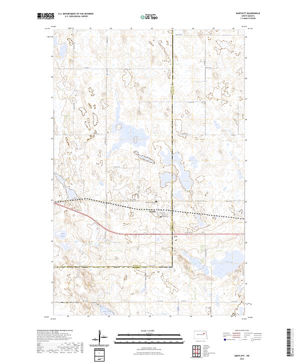
2024 Bartlett
Ramsey County, ND
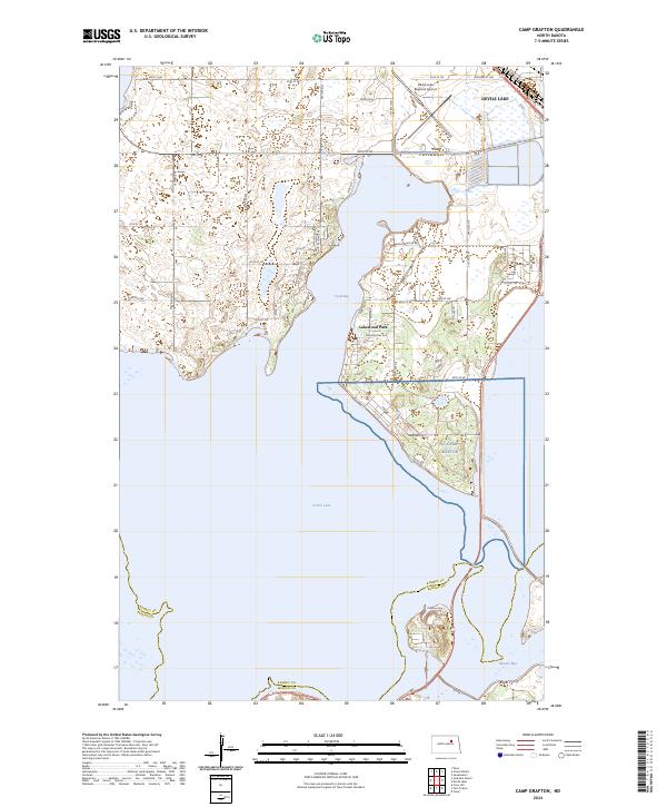
2024 Camp Grafton
Ramsey County, ND
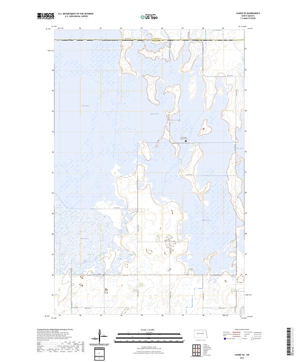
2024 Cando SE
Ramsey County, ND
2024 Crary NW
Ramsey County, ND
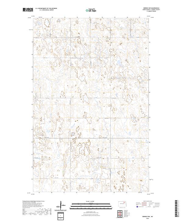
2024 Derrick NW
Ramsey County, ND
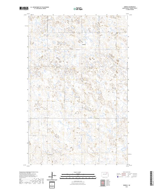
2024 Derrick
Ramsey County, ND
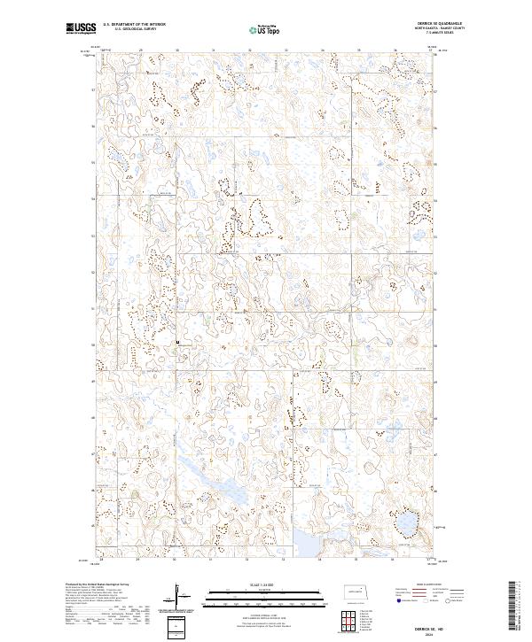
2024 Derrick SE
Ramsey County, ND

2024 Derrick SW
Ramsey County, ND
2024 Devils Lake Mountain
Ramsey County, ND
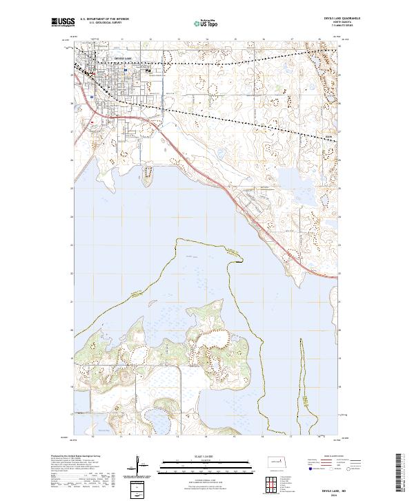
2024 Devils Lake
Ramsey County, ND
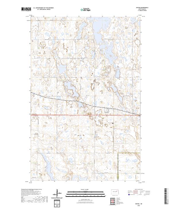
2024 Doyon
Ramsey County, ND
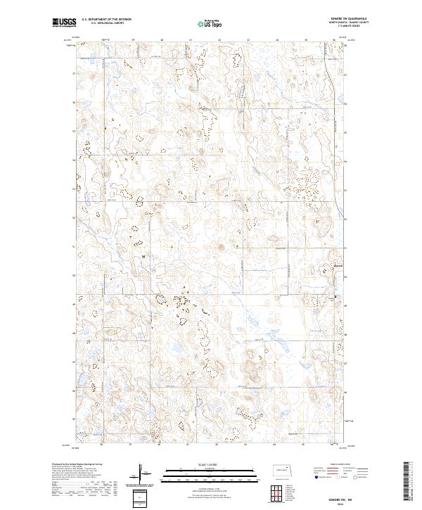
2024 Edmore SW
Ramsey County, ND
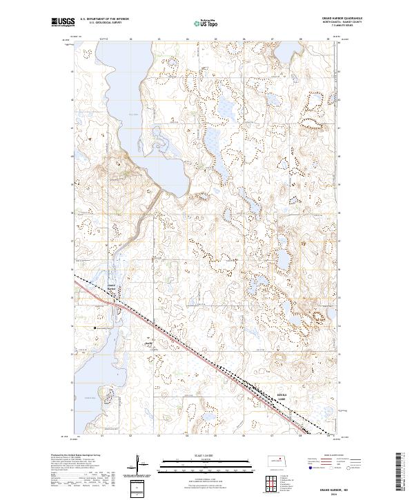
2024 Grand Harbor
Ramsey County, ND
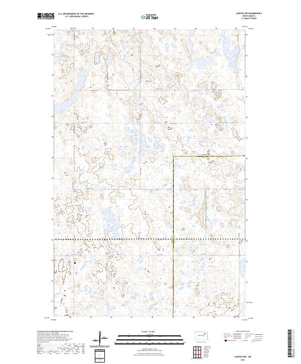
2024 Lakota NW
Ramsey County, ND
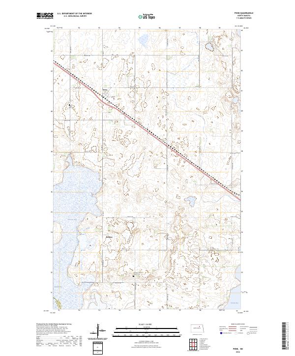
2024 Penn
Ramsey County, ND
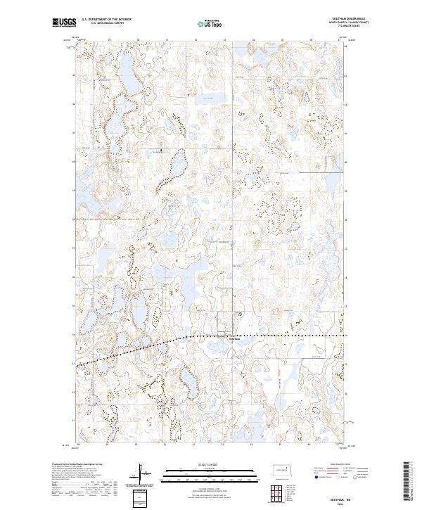
2024 Southam
Ramsey County, ND
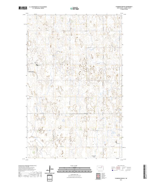
2024 Starkweather NE
Ramsey County, ND
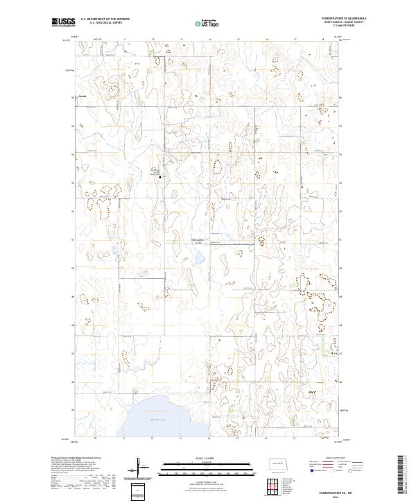
2024 Starkweather SE
Ramsey County, ND
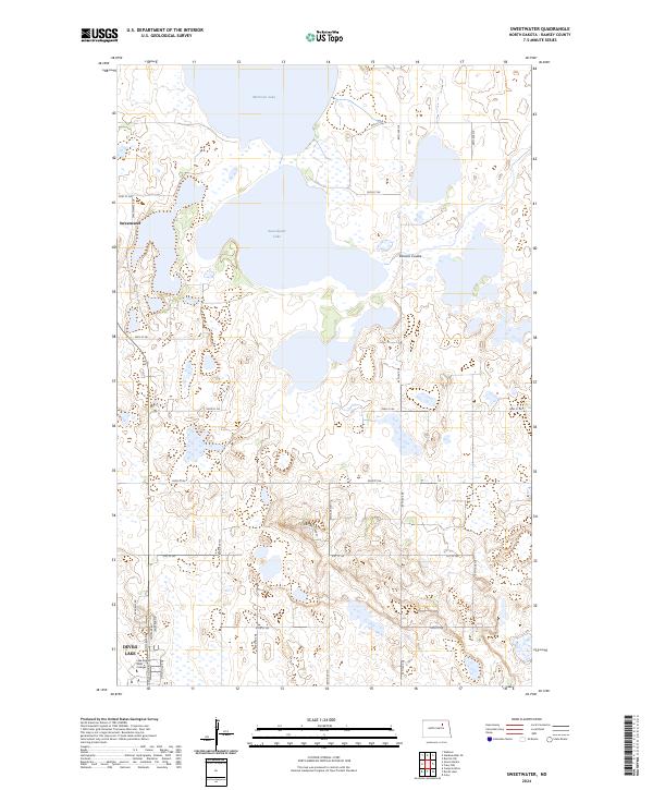
2024 Sweetwater
Ramsey County, ND
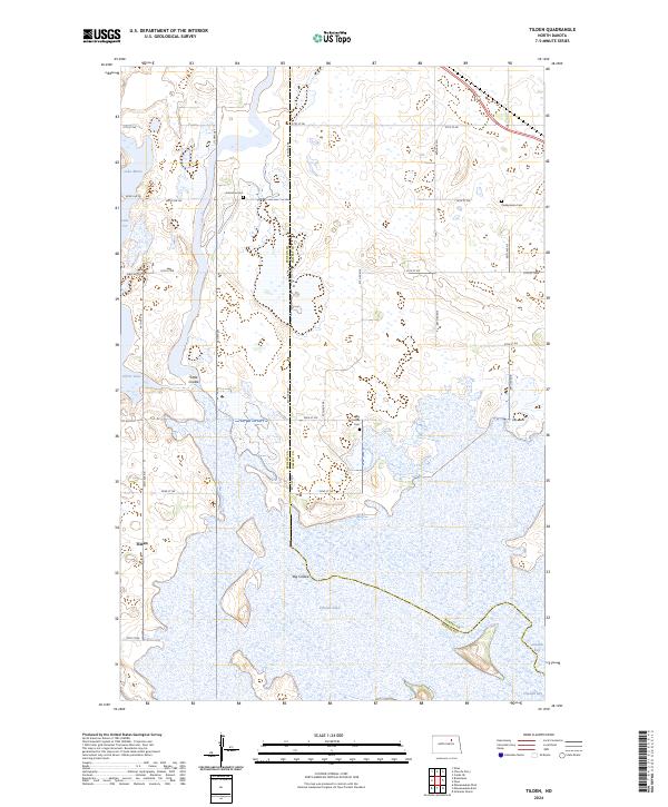
2024 Tilden
Ramsey County, ND
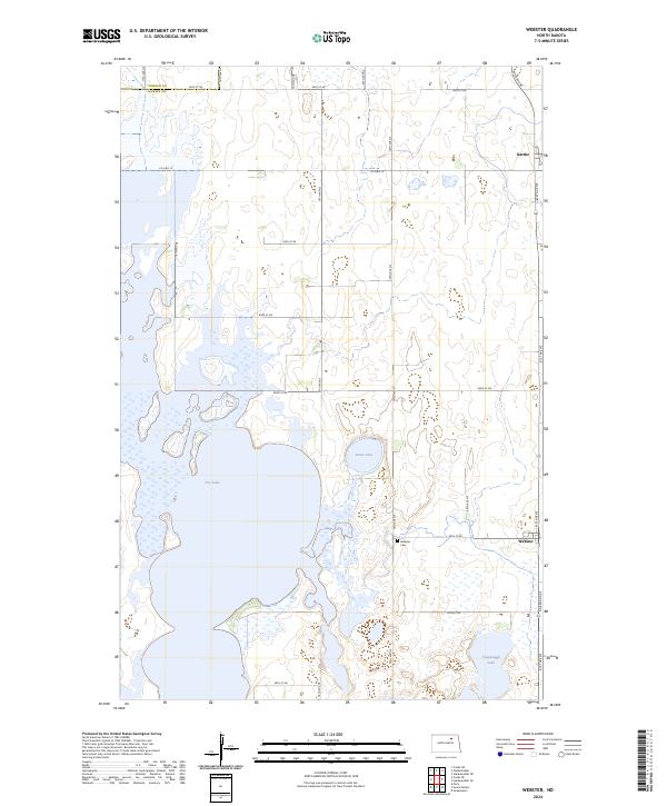
2024 Webster
Ramsey County, ND