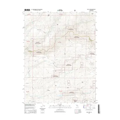
2015 Map of Devils Nose
USGS Topo · Published 2015About this map
The North Fork Mokelumne River and Middle Fork Mokelumne River define the hydraulic character of this Sierra Nevada landscape along the boundary of Amador and Calaveras counties. Significant industrial water infrastructure is evident, including the Tiger Cr Reservoir, Tiger Cr Regulation Reservoir, and the Tiger Cr Conduit system, which manage the descent of water through the canyon. Small mountain settlements such as Porter, Boston Flat, and Lily Valley sit among the high ridges, connected by forest routes like Salt Springs Rd and Bald Mountain Rd.
Find a feature on this map
59 named features on this map. Tap any name to fly to it.
Don’t see what you’re looking for? This feature index may not catch every label — zoom into the map to look around manually.
Map Details
Editions of this 2015 Devils Nose Map
This is the sole edition of this map. No revisions or reprints were ever made.
Other maps of this area

1889 · Jackson
USGS Topo · 1:125,000

1889 · Pyramid Peak
USGS Topo · 1:125,000

1891 · Big Trees
USGS Topo · 1:125,000

1891 · Placerville
USGS Topo · 1:125,000

1891 · Pyramid Peak
USGS Topo · 1:125,000

1892 · Jackson
USGS Topo · 1:125,000

1892 · Placerville
USGS Topo · 1:125,000

1893 · Placerville
USGS Topo · 1:125,000

1894 · Big Trees
USGS Topo · 1:125,000

1895 · Pyramid Peak
USGS Topo · 1:125,000