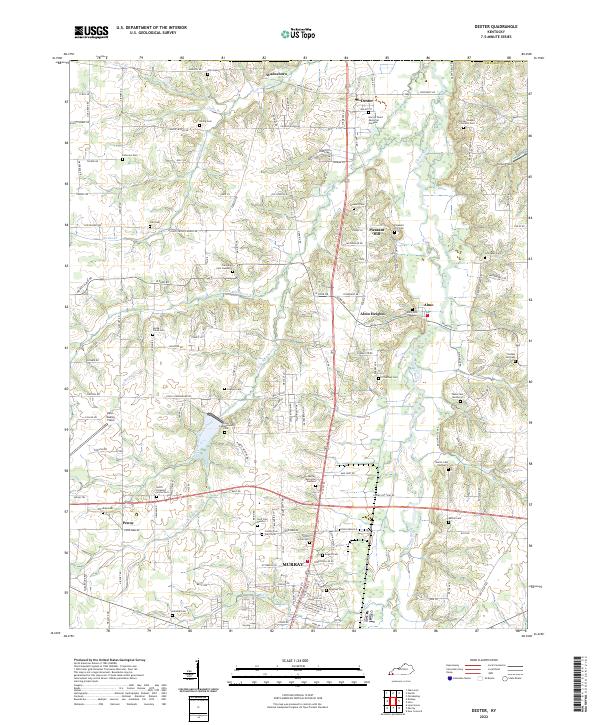
2022 Map of Dexter
USGS Topo · Published 2022About this map
Clarks River meanders through the heart of Calloway County, defining the agricultural landscape of Dexter, Almo, and Pleasant Hill. The terrain is marked by a dense concentration of family and community burial grounds, such as the County Poor Farm Cem and Coles Campground Cem, which offer significant genealogical value for the region. To the south, the northern periphery of Murray begins to take shape, showing the transition from rural acreage to the county's primary urban center. Transportation patterns are anchored by the north-south corridor of Highway 641, while small airstrips like Kyle Oakley Field and Turner Field indicate the area's modern infrastructure. Numerous watercourses, including W Fork Rockhouse Cr and Bee Cr, drain the dissected plateaus that surround local heights such as Timber Ridge.
Find a feature on this map
141 named features on this map. Tap any name to fly to it.
Don’t see what you’re looking for? This feature index may not catch every label — zoom into the map to look around manually.
Map Details
Editions of this 2022 Dexter Map
This is the sole edition of this map. No revisions or reprints were ever made.
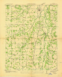
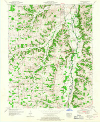
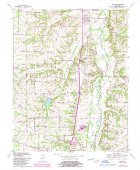
Historical Maps of Dexter Through Time
4 maps found