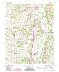
1969 Map of Dexter
USGS Topo · Published 1987About this map
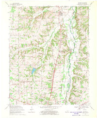
The Clarks River and its meandering West Fork define the topography of this Calloway County landscape as it appeared in the late 1960s. The northern reaches are anchored by the settlement of Dexter, while the southern portion transition into the outskirts of Murray, featuring the Fairgrounds, Kyle-Oakley Field, and the Radio Tower (WNBS). The transportation network is dominated by the L and N railroad corridor, which parallels the river valley and links the smaller communities of Almo and Almo Heights.
Find a feature on this map
49 named features on this map. Tap any name to fly to it.
Don’t see what you’re looking for? This feature index may not catch every label — zoom into the map to look around manually.
Map Details
Editions of this 1969 Dexter Map
2 editions found
Other maps of this area

1936 · Hazel
USGS Topo · 1:24,000

1936 · New Concord
USGS Topo · 1:24,000

1936 · Oak Level
USGS Topo · 1:24,000

1936 · Lynn Grove
USGS Topo · 1:24,000

1936 · Hardin
USGS Topo · 1:24,000

1936 · Hiatt
USGS Topo · 1:24,000

1936 · Benton
USGS Topo · 1:48,000

1936 · Golden Pond
USGS Topo · 1:48,000

1936 · Dexter
USGS Topo · 1:24,000

1936 · Hico
USGS Topo · 1:24,000