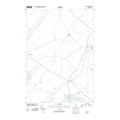
2010 Map of Dexter
USGS Topo · Published 2010About this map
Dexter and Limerick sit at the confluence of northern New York's hydrological network, where the Black River meets Black River Bay and the winding Perch River flows from the east. This 2010 topographic record highlights the transitional landscape of Jefferson County, where small settlements like Chaumont and Reynolds Corner are connected by a grid of roads that follow the drainage patterns of Guffin Creek and Horse Creek. Genealogists will find several burial grounds documented on this sheet, including Freeman Cemetery, Luther Hill Cemetery, and Dexter Cemetery. The terrain is characterized by modest elevations such as Slaughter Hill and Doanes Hill, while the Natural Bridge label marks a distinctive local crossing point near the banks of the Perch River.
Find a feature on this map
22 named features on this map. Tap any name to fly to it.
Don’t see what you’re looking for? This feature index may not catch every label — zoom into the map to look around manually.
Map Details
Editions of this 2010 Dexter Map
This is the sole edition of this map. No revisions or reprints were ever made.
Other maps of this area

1893 · Sackets Harbor
USGS Topo · 1:62,500

1895 · Sacketts Harbor
USGS Topo · 1:62,500

1895 · Watertown
USGS Topo · 1:62,500

1898 · Watertown
USGS Topo · 1:62,500

1900 · Clayton
USGS Topo · 1:62,500

1903 · Clayton
USGS Topo · 1:62,500

1903 · Theresa
USGS Topo · 1:62,500

1908 · Watertown
USGS Topo · 1:62,500

1909 · Watertown
USGS Topo · 1:62,500

1942 · Henderson Bay
USGS Topo · 1:31,680