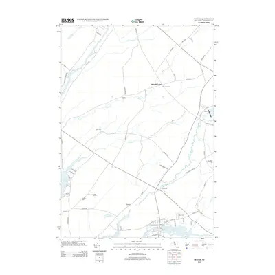
2013 Map of Dexter
USGS Topo · Published 2013About this map
Black River flows into the eastern reach of Lake Ontario at the village of Dexter, anchoring a landscape where river-driven history meets rural farmsteads. This early 21st-century survey illustrates a network of waterways including Chaumont River and Perch River, which drain the low-lying terrain of Jefferson County. The map provides significant detail for genealogists, marking several family-named landmarks and resting places such as Freeman Cem, Luther Hill Cem, and the larger Dexter Cem.
Find a feature on this map
74 named features on this map. Tap any name to fly to it.
Don’t see what you’re looking for? This feature index may not catch every label — zoom into the map to look around manually.
Map Details
Editions of this 2013 Dexter Map
This is the sole edition of this map. No revisions or reprints were ever made.
Other maps of this area

1893 · Sackets Harbor
USGS Topo · 1:62,500

1895 · Sacketts Harbor
USGS Topo · 1:62,500

1895 · Watertown
USGS Topo · 1:62,500

1898 · Watertown
USGS Topo · 1:62,500

1900 · Clayton
USGS Topo · 1:62,500

1903 · Clayton
USGS Topo · 1:62,500

1903 · Theresa
USGS Topo · 1:62,500

1908 · Watertown
USGS Topo · 1:62,500

1909 · Watertown
USGS Topo · 1:62,500

1942 · Henderson Bay
USGS Topo · 1:31,680