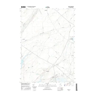
2016 Map of Dexter
USGS Topo · Published 2016About this map
Lake Ontario defines the western edge of this Jefferson County landscape, where Guffin Bay cuts into the shoreline near the village of Chaumont. The interior is defined by a network of waterways including the Chaumont River, Perch River, and the Black River, which flows through the village of Dexter in the south. This area demonstrates a long-standing settlement pattern centered on these water routes, with inland hamlets like Limerick and Depauville connected by historical roads such as Morris Track Rd and Star School House Rd. Genealogists will find several family and community landmarks, including the Freeman Cem, Luther Hill Cem, and Dexter Cem. A unique geographic feature, the Natural Bridge of New York, sits near Doanes Hill, while the expansive Gum Swamp occupies the central lowlands.
Find a feature on this map
73 named features on this map. Tap any name to fly to it.
Don’t see what you’re looking for? This feature index may not catch every label — zoom into the map to look around manually.
Map Details
Editions of this 2016 Dexter Map
This is the sole edition of this map. No revisions or reprints were ever made.
Other maps of this area

1893 · Sackets Harbor
USGS Topo · 1:62,500

1895 · Sacketts Harbor
USGS Topo · 1:62,500

1895 · Watertown
USGS Topo · 1:62,500

1898 · Watertown
USGS Topo · 1:62,500

1900 · Clayton
USGS Topo · 1:62,500

1903 · Clayton
USGS Topo · 1:62,500

1903 · Theresa
USGS Topo · 1:62,500

1908 · Watertown
USGS Topo · 1:62,500

1909 · Watertown
USGS Topo · 1:62,500

1942 · Henderson Bay
USGS Topo · 1:31,680