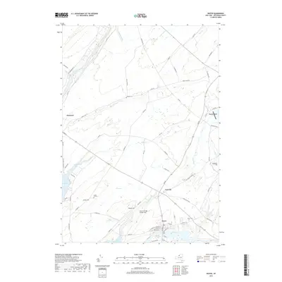
2019 Map of Dexter
USGS Topo · Published 2019About this map
Dexter and Limerick sit at the center of this Jefferson County landscape, where the Perch River flows toward its outlet. The terrain is defined by the proximity to Lake Ontario, with the indented shorelines of Guffin Bay and Black River Bay shaping the western edge of the quadrangle. A distinct geological landmark, the Natural Bridge of New York, is located north of Dexter, highlighting the region's unique karst topography.
Find a feature on this map
74 named features on this map. Tap any name to fly to it.
Don’t see what you’re looking for? This feature index may not catch every label — zoom into the map to look around manually.
Map Details
Editions of this 2019 Dexter Map
This is the sole edition of this map. No revisions or reprints were ever made.
Other maps of this area

1893 · Sackets Harbor
USGS Topo · 1:62,500

1895 · Sacketts Harbor
USGS Topo · 1:62,500

1895 · Watertown
USGS Topo · 1:62,500

1898 · Watertown
USGS Topo · 1:62,500

1900 · Clayton
USGS Topo · 1:62,500

1903 · Clayton
USGS Topo · 1:62,500

1903 · Theresa
USGS Topo · 1:62,500

1908 · Watertown
USGS Topo · 1:62,500

1909 · Watertown
USGS Topo · 1:62,500

1942 · Henderson Bay
USGS Topo · 1:31,680