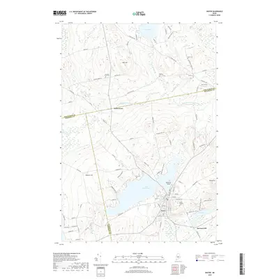
2018 Map of Dexter
USGS Topo · Published 2018About this map
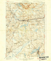
Lake Wassookeag serves as the central focal point for this area of Penobscot County, where the settlement of Dexter is situated along its southern and eastern shores. The map captures a complex network of rural roads and family-named landmarks that speak to the region's agricultural and industrial heritage. To the north, North Dexter and Spooners Mill indicate secondary clusters of activity, while the Main Stream Sebasticook River and E Br Sebasticook River drain the surrounding wetlands and bogs, including Brown Bog and Grey Bog.
Find a feature on this map
99 named features on this map. Tap any name to fly to it.
Don’t see what you’re looking for? This feature index may not catch every label — zoom into the map to look around manually.
Map Details
Editions of this 2018 Dexter Map
This is the sole edition of this map. No revisions or reprints were ever made.
Other maps of this area
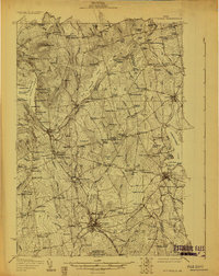
1930 · Pittsfield
USGS Topo · 1:48,000

1931 · Stetson
USGS Topo · 1:48,000
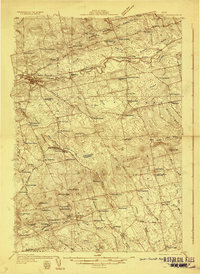
1932 · Dover-Foxcroft
USGS Topo · 1:48,000
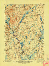
1932 · Pittsfield
USGS Topo · 1:62,500
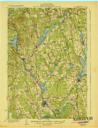
1933 · Pittsfield
USGS Topo · 1:62,500
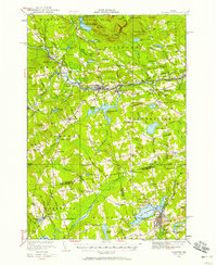
1933 · Guilford
USGS Topo · 1:62,500
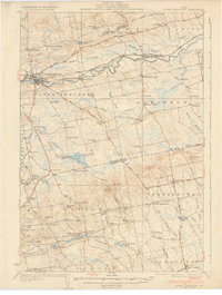
1935 · Dover-Foxcroft
USGS Topo · 1:62,500
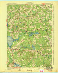
1935 · Stetson
USGS Topo · 1:62,500
1937 · Guilford
USGS Topo · 1:62,500

1948 · Bangor
USGS Topo · 1:250,000